File:20130410-55-13-10-Mapped-road.JPG
From Geohashing
Revision as of 21:44, 15 April 2013 by imported>Llavids (Category: Meetup on 2013-04-10Category: Meetup in 55 13Openstreet mapped road)

Size of this preview: 800 × 450 pixels. Other resolutions: 320 × 180 pixels | 1,741 × 979 pixels.
Original file (1,741 × 979 pixels, file size: 1.23 MB, MIME type: image/jpeg)
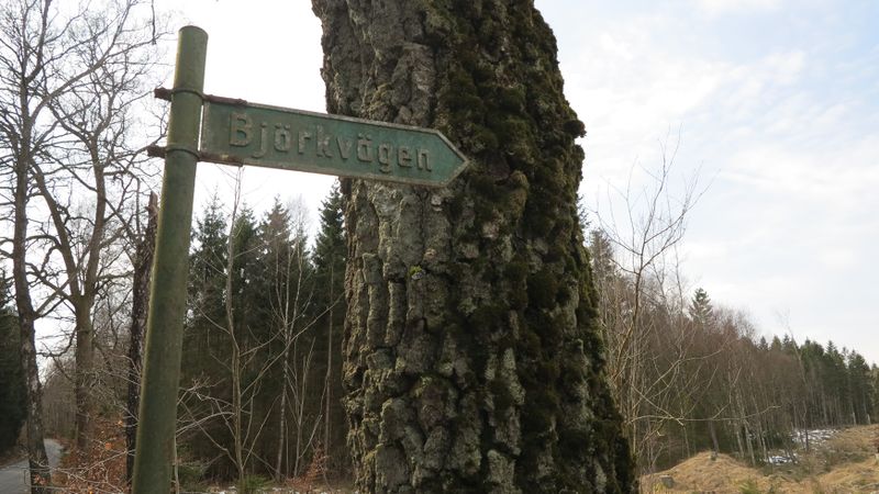
Openstreet mapped road
File history
Click on a date/time to view the file as it appeared at that time.
| Date/Time | Thumbnail | Dimensions | User | Comment | |
|---|---|---|---|---|---|
| current | 15:19, 30 January 2020 | | 1,741 × 979 (1.23 MB) | Maintenance script (talk | contribs) |
- You cannot overwrite this file.
File usage
The following page links to this file: