2014-02-15 -34 -60
So I finally do it. It´s not my home graticule, not even the graticules next to it. First a little recent history, a log I start a week ago to force me to be consistent in do this:
My trip in space and time trying to catch a geohash point:
Friday February 7, 2014: My graticule: It´s Set actually in a really decent place to get (near one of the exit highways of Buenos Aires). But I got 3 problems: first, is really rainy and the side of the highway is full of mud (I know because I flat a tire near that place), second I have to work until 11 PM, and third is in the exact contrary direction that my home. So if I try to get it, I will probably be late, wet, muddy and rob (is not the best area in the city). The graticules around: 6 are in the middle of countryside around 2 km of the nearest road (one even is in another country), one is in the middle of the River Plate, And the other is in the middle of an island in the Tigre´s Delta. This delta has a subtropical forest in this islands. [[ Saturday February 8, 2014:]] My graticule: for the first time is in a spot I can reach with my boat in the river plate, but of course... it will rain all day. And the last days the storm has been with a lot of lighting. So I don´t intent to became a hero. If the forecast change, I will try to reach it. The graticules around: six or the are deep in the countryside, another is relative close to a road but... Is in another country. Is only 98km in straight line but 380 km far away (The closest bridge is 200 km away). If a try to get to that hashpoint It will probably be easier to take a boat in gualeguaychú and try to get to the eighth hashpoint in the middle of the uruguay river. If you think this is easy, this river is 3 miles wide at that point and don´t forget it will rain.
Sunday February 9, 2014: My Graticule: This time is again over the River Plate, but twice as far as the one on Saturday. I have calculate the distance and the gas... And I can reach it, but will not be able to came back... Is a difficult decision, I will my own hero but what is the point to get to a hashpoint if you can´t brag about it. I pass. The graticules around me: Another hashpoint is also further in the river plate, but from a conceptual point of view, getting to 2 hashpoint instead of one and not getting back is the same that with one. The rest as usual is in the countryside. I´m beging to this I need an excuse to get in other peoples fields if I want ever get to a hashpoint.
Monday, February 10, 2014 My Graticule: A working day. It´s Inside a private neighbour, call Santa Clara. I ask a few people that live nearby if anyone know someone that lives in there. No success. Nex time, The Graticules Around me: Again everything is in the countryside and for the worst it continue to rain, so: away from road+rain+working day: I let it pass. [[ Tuesday February 11, 2014]] My Graticule: This time the hashpoint in my graticule is in another country!! This is driving me crazy. The Graticules around me: Four of them are also in Uruguay (600 km round trip) or 300USD for the ferry, but even then are hard to get. Another three are in the middle of the countryside but the last one... Its actually in a reachable position in a beautyful location call Lobos (Wolfs). It´s a 100 km trip and back, I know how to get there, but (there is always a but)... today is the first day of final exams in the University. The worst part is I´m the professor so I can´t miss the exam. I could resign as a professor... I also could call an let them know I´m sick.... Furthermore It´s still raining. It has been raining for the last 10 days. I HATE MY F*CKING LUCK.
Wednesday February 12, 2014 Wheather report: For the first time in 10 days, it´s not raining and it seems it would not rain for the next couple of day. I need to concentrate and find a decent hashpoint. My Graticule: Again it fall in the River Plate. This time is near the coast (around 1000 yards) but near the south part of Buenos Aires. I get the distance in Homeport (tm) as well as the depth. The depth is ok, but It´s about 30 nm from where I have my boat. The trip would get me: 50 min for getting to the boat, 1h30min for getting to the point, the same to get back. The total is 5 hs (give it or take it). I can get out of my job 17:30 so the last hour of my boat trip would be into the dark night. I´m not that desperate to arrive to a hashpoint. Other Graticules: Three in Uruguay, three more in the countryside, Another in the sea, and the last one in an island in the paraná delta in the middle of the forest that I´m pretty sure that nobody has ever reach whithin a mile of that point in human history.
Thursday February 13, 2014 This day I forget to checkout the geohash web. I check retrospectivly and I didn´t miss a chance.
Friday to Monday, February 13-16, 2014 Friday: I have final exams so I haven´t time after work. Saturday: The hashpoint in my graticule is in Uruguay, as well as another four in the surrounding graticules. Another four are in the middle of the countryside. I sense something strange, this time I guess the hashpoint are really quite east than usual, so I check the graticules western than mine and I find a good chance in Arrecifes. Will try.
SO HERE I´M WITH THE ACTUAL HISTORY:
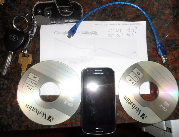
Around 14:00 PM, after I have lunch (no point in starting a trip with an empty stomach) I burn 2 CDs with music for the car, get ready the cellphone with GPS, the map print on friday and leave.
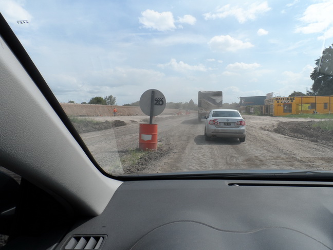
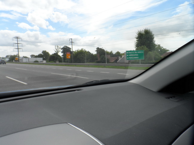
I fill the tank with gas (around 40USD, that is around what I use to do this trip). Start the trip, no problem, pay the toll (it finally gets to a total of 10USD), but halfway of the hashpoint, there is a problem in the road. There is a large line of cars not moving!!! I begin to swear, but few minutes later it start to move, they are just updating the road (most needed). A few meters after I see the first sign with my destination (I´M IN THE RIGHT WAY!!!)
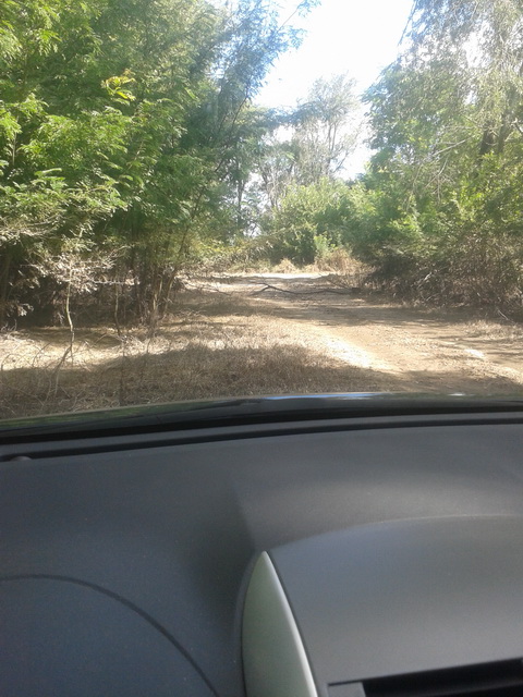
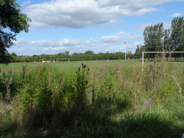
No problem with the trip and I get to the dirt road. I start to aproach, And I see a brach in the road. OK, I think. Time to walk. Get out of the car with the Cellphone and the camera and I realize I´m getting away from the hashpoint. A go back and I see where is the hashpoint: in a football field...
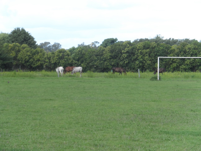
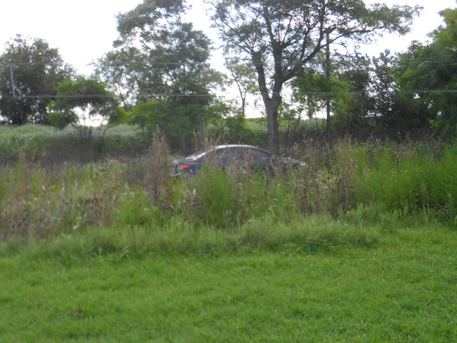
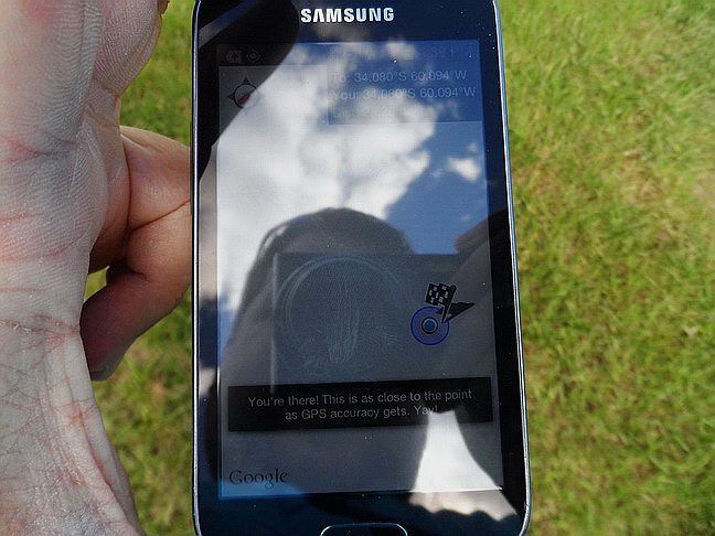
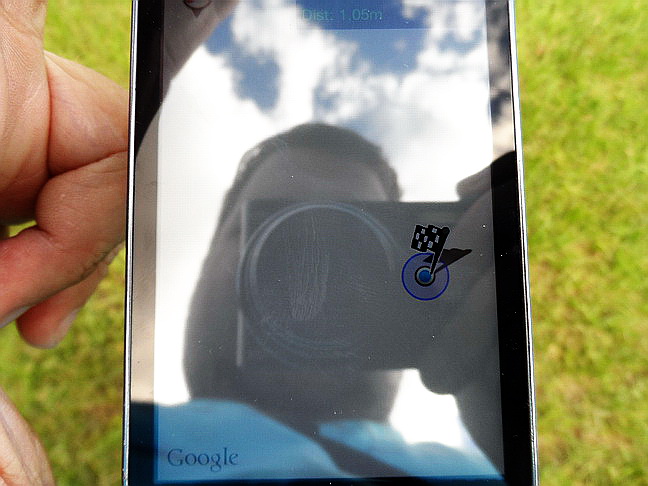
The door it´s open, probably everybody is sleeping the nap in the nearby house and there are a lot of mosquitoes so I take a quick decission and enter. And finally I get to the HASHPOINT. Since there is no precission in the cellphone, I decide to start a spiral walk around the position to get sure I get there (it´s my first time). I have the tracklog but don´t know how to upload it. Here is a photo of the cellphone with the coordinates, two panoramic photos from the hashpoint, my photo in the hashpoint, my car park outside the hashpoint, and the horses that are my witnesses.
So there it is, I did it.
Good Bye
TRIP DATA:
Total Trip Length: 321.6 Km Highway: 101.8 km Pave Road: 118 km Dirt Road: 700 m Walk: 100 m
Time: 3 hours 45 min
Total Cost: 50 USD
