2014-02-22 -33 -58
So I get to a hashpoint for the second time, but not in my own graticule. At least it was a Virgin Graticule.
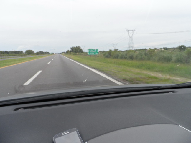
The location is near a town in Entre Rios call Ceibas, 95% of the road was highway.
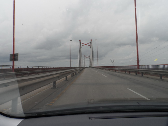
I pass to the Zarate- BrazoLargo Bridge (a bridge that cross two 700 mts wide arms of Parana River) And I arrive to Ceibas.
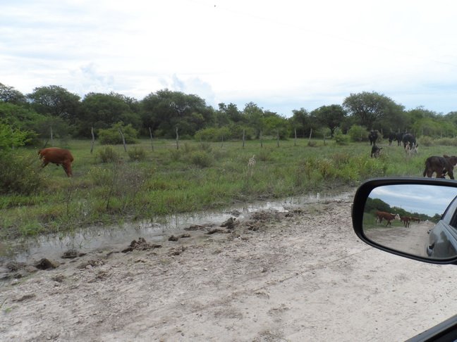
I get to the dirt road, and I begin to realize that there are storm probabilities and the road will became a trap if it start to rain. In some places there is water and mud next to the road.
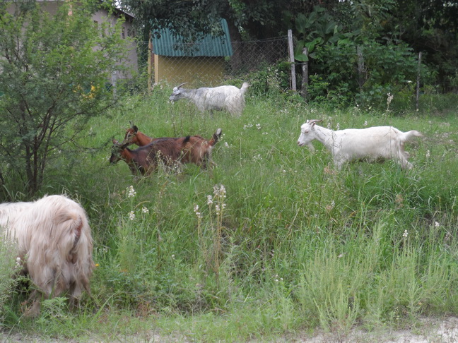
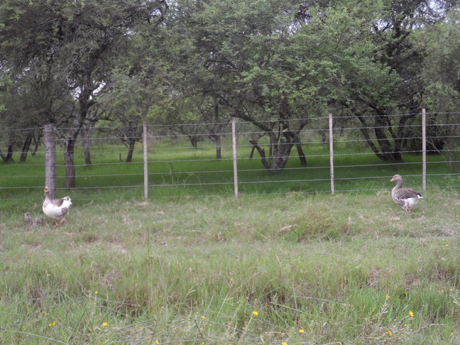
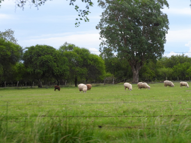
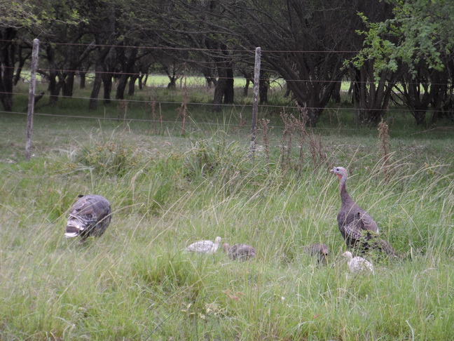
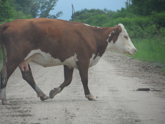
I keep going on slowly (the road is really bad) and I start to see all the animals you can see in the farm: Cows (and bulls) in the middle of the roads, ducks, turkeys (WTF?? this is not normal), goats, sheeps, dogs, horses, chickens. I begin to think that the people who lives there are feeding a velocirraptor, since when I come back there are fewer cows and goats. Need to come back and check this fact.
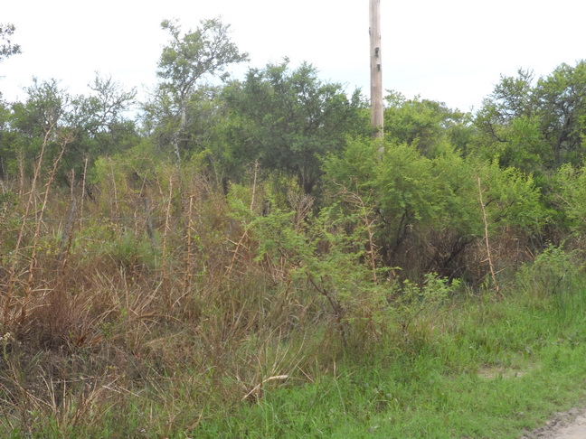
I arrive near to the hashpoint and I realize that it´s in the wrong side of the road. You can´t trust Google Earth.
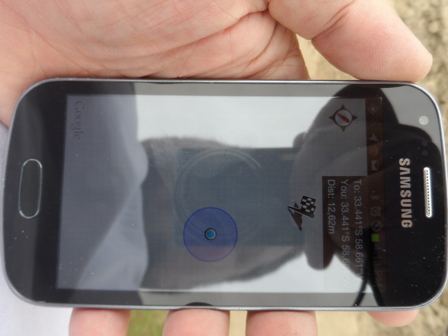
Like the last time, it´s full of mosquitoes, because the hashpoint is in the middle of the wild. The closest I get without traspassing is around 12 mts.
Then I decide that no person who is not crazy will be in a dirt road, 15 km away from civilization, with a storm ready to go, with a possible velocirraptor around, so I cross the wiring. Thank God I got my heavyduty pants and resistant shoes, because is really wild. Thank god the velocirraptor scares the snakes and spider.
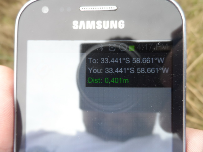
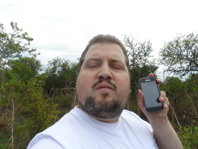
So I get to the hashpoint, at least 0.4mts away from it.I take a picture of me and two panoramic from the hashpoint.
I come back with the feeling of the duty accomplish
TRIP DATA:''
Total Trip Length: 333.5 Km Highway: 303.5 km Dirt Road: 30 km Walk: 30 m
Time: 4 hours 04 min
Total Cost: 60 USD
