File:2014-12-03 41 -71 c .jpg
From Geohashing
Revision as of 01:26, 4 December 2014 by imported>Vbob (Google Maps and Garmin eTrex don't agree very well, but it was much too dangerous to do the GPS dance in traffic...)
Size of this preview: 800 × 600 pixels. Other resolutions: 320 × 240 pixels | 3,264 × 2,448 pixels.
Original file (3,264 × 2,448 pixels, file size: 266 KB, MIME type: image/jpeg)
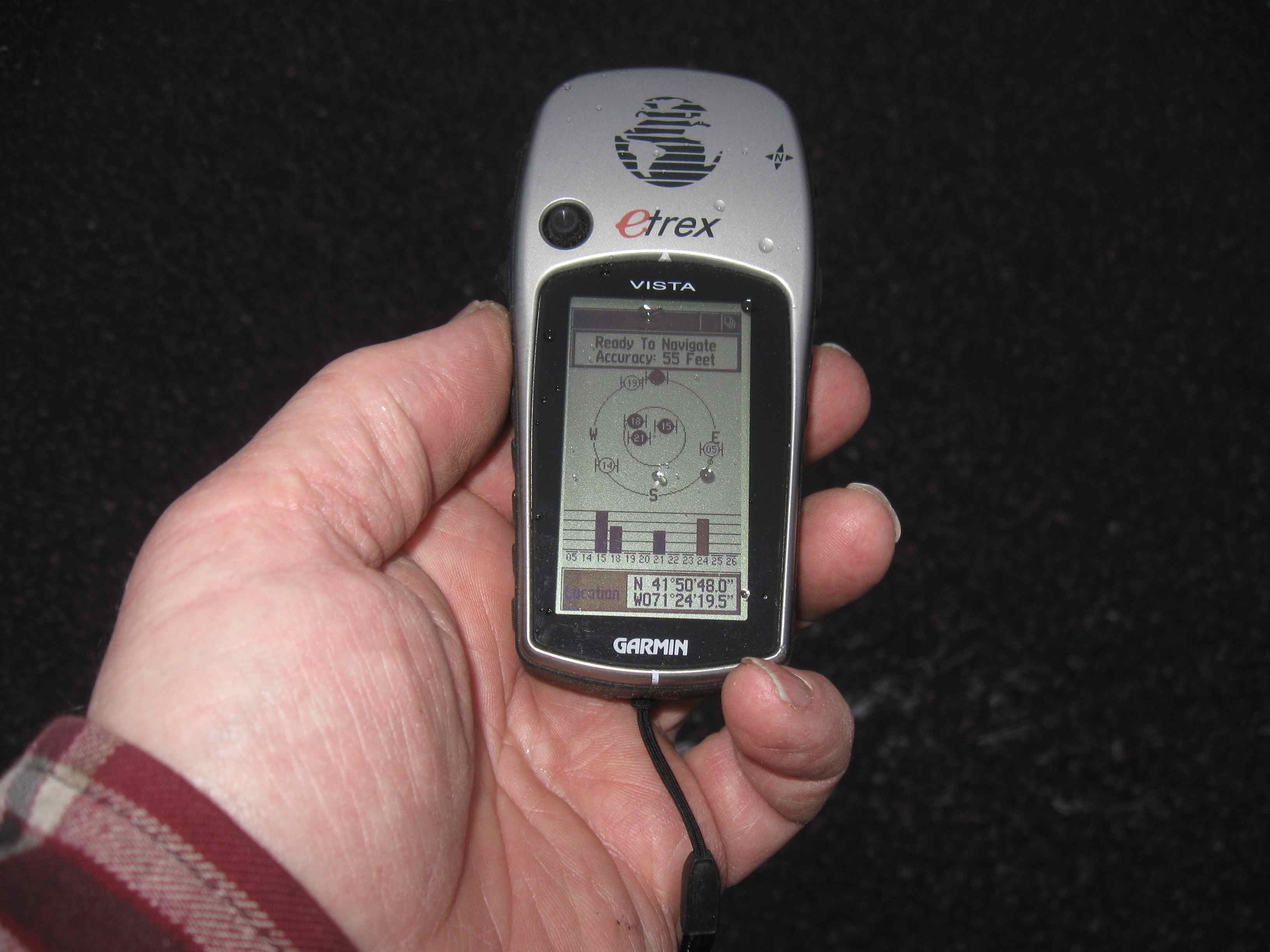
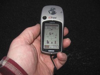
Google Maps and Garmin eTrex don't agree very well, but it was much too dangerous to do the GPS dance in traffic...
File history
Click on a date/time to view the file as it appeared at that time.
| Date/Time | Thumbnail | Dimensions | User | Comment | |
|---|---|---|---|---|---|
| current | 16:55, 30 January 2020 | | 3,264 × 2,448 (266 KB) | Maintenance script (talk | contribs) |
- You cannot overwrite this file.
File usage
The following page links to this file: