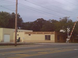
2015-09-24 42 -85
| Thu 24 Sep 2015 in 42,-85: 42.9248643, -85.6415745 geohashing.info google osm bing/os kml crox |
Location
Someone's back yard, Merrifield St. SE, Grand Rapids, MI
Participants
Expedition
This looked easy except for the last few yards, since it was about two miles from my house and not very far off my bike route home. The first part of my route was the same as 2015-09-14_42_-85, with fewer errors since I knew the route. After a few miles I reached the east end of the Plaster Creek Trail at 28th and Eastern and turned on Geohash Droid to find I was 1.5 km from the hashpoint.
The hashpoint was in the back yard of a house on Merrifield St. There was an unpaved alley that ran along between the backyards of the south-facing houses on Merrifield and those of the north-facing houses on Hazen. I biked along the alley and found that the yards were almost entirely enclosed by palisade fences. The closest I could get was about 14m, since I was free to move east-west but was constrained by the fences and could not move further south.
Photos
Achievements
Mcbaneg earned the Bicycle geohash achievement
|


