File:2019-06-07 63 29 12-roadside3.jpg
From Geohashing
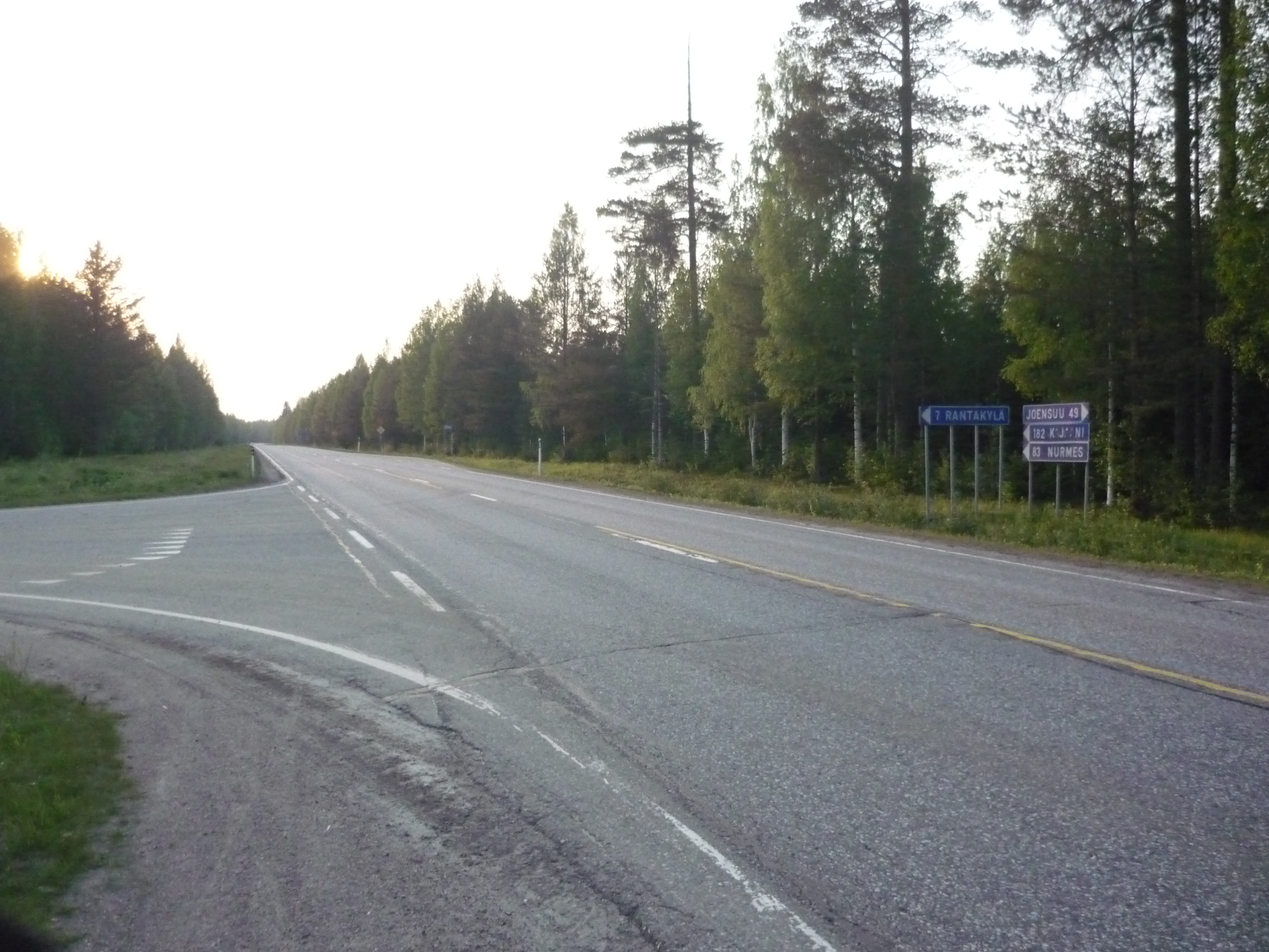
Revision as of 18:23, 9 June 2019 by imported>Kripakko (An intersection in the middle of nowhere. The sign shows distances in kilometres to the closest towns and the village of Rantakylä (literally "Shore village"). Category: Meetup on 2019-06-07 Category: Meetup in 63 29)
Size of this preview: 800 × 600 pixels. Other resolutions: 320 × 240 pixels | 3,264 × 2,448 pixels.
Original file (3,264 × 2,448 pixels, file size: 1.87 MB, MIME type: image/jpeg)
An intersection in the middle of nowhere. The sign shows distances in kilometres to the closest towns and the village of Rantakylä (literally "Shore village").
File history
Click on a date/time to view the file as it appeared at that time.
| Date/Time | Thumbnail | Dimensions | User | Comment | |
|---|---|---|---|---|---|
| current | 15:38, 30 January 2020 | | 3,264 × 2,448 (1.87 MB) | Maintenance script (talk | contribs) |
- You cannot overwrite this file.
File usage
The following page links to this file: