File:2009-09-25 -38 146 004.jpg
From Geohashing
Revision as of 14:31, 30 January 2020 by Maintenance script (talk | contribs) (Maintenance script uploaded File:2009-09-25 -38 146 004.jpg)
No higher resolution available.
2009-09-25_-38_146_004.jpg (320 × 480 pixels, file size: 28 KB, MIME type: image/jpeg)
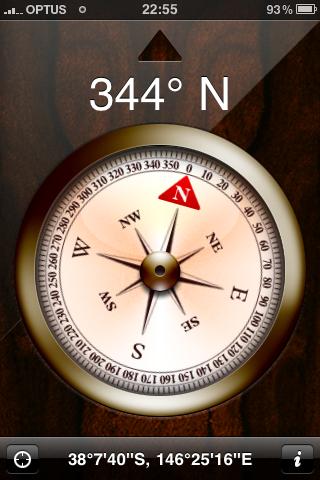
As close as I recorded... I got to within 450m according to the GPS, and similar according to the iPhone, but they both ended up pointing in odd directions and telling me I was travelling at right-angles to my actual path.
Shortly after that I gave up.
File history
Click on a date/time to view the file as it appeared at that time.
| Date/Time | Thumbnail | Dimensions | User | Comment | |
|---|---|---|---|---|---|
| current | 14:31, 30 January 2020 | | 320 × 480 (28 KB) | Maintenance script (talk | contribs) |
- You cannot overwrite this file.
File usage
The following page links to this file: