File:2018-05-26 -37 175 Krintar 1527303577134.jpg
From Geohashing
Revision as of 15:37, 30 January 2020 by Maintenance script (talk | contribs) (Maintenance script uploaded File:2018-05-26 -37 175 Krintar 1527303577134.jpg)
No higher resolution available.
2018-05-26_-37_175_Krintar_1527303577134.jpg (800 × 600 pixels, file size: 127 KB, MIME type: image/jpeg)
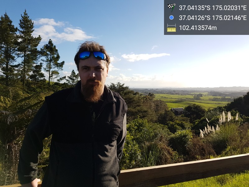
Hash point is down a steep hill in private property. This is the closest point I could reach without trespassing.
File history
Click on a date/time to view the file as it appeared at that time.
| Date/Time | Thumbnail | Dimensions | User | Comment | |
|---|---|---|---|---|---|
| current | 15:37, 30 January 2020 | | 800 × 600 (127 KB) | Maintenance script (talk | contribs) |
- You cannot overwrite this file.
File usage
The following page links to this file: