2008-06-08 42 -71
From Geohashing
Revision as of 01:35, 9 June 2008 by imported>Ben
| Sun 8 Jun 2008 in 42,-71: 42.0475817, -71.2309159 geohashing.info google osm bing/os kml crox |
The Location
The site is in the woods in Foxborough, but less than a mile from the center of Mansfield. It is best accessible either from a (plant) nursery or from nearby railroad tracks. It's unclear who owns the property; there are no obvious boundaries (although the land is not the most passable in places).
The Geohash
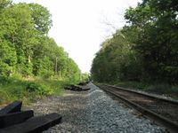
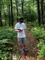
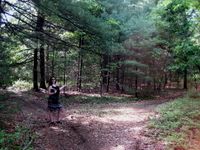
We approached from Mansfield center, walking up County Street. It turned out that, for whatever reason, there was a substantial network of trails in the relevent segment of forest, such that we didn't have any trouble getting quite near the point. The trails connect both to the railroad tracks to the east, and the nursery to the southwest.
- A Walk in the Woods
The Mansfield train station. Ben made it to the hash from Providence using only mass transit.

