2008-07-05 40 -82
From Geohashing
Revision as of 05:10, 6 July 2008 by imported>Alex (Added pictures.)
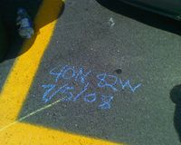
| Sat 5 Jul 2008 in 40,-82: 40.1489437, -82.9212957 geohashing.info google osm bing/os kml crox |
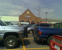
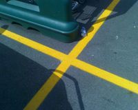
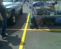
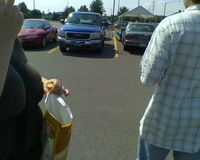
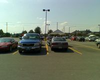
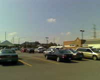
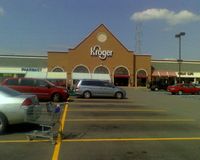
The Mansfield, Ohio geohash for Saturday, July 5, 2008 was in parking lot near the intersection of North State Street and Polaris Parkway, in front of a Kroger grocery store. According to the satellite imagery on Google, the exact location was right down the middle of the fourth row of cars from the west, in between the 14th and 15th row of cars. The exact intersection of pavement lines was right next to a cart corral.
Who was there?
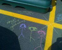
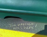
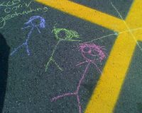
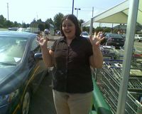
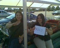
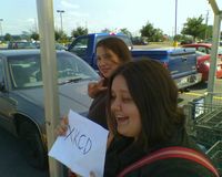
- Chris, Alex, and their Westerville-native friend Susan found the hash point and drew on the pavement with chalk in the traditional stick-figure style. They were even able to park next to the cart corral! They were hoping to meet other Columbus geohashers, and even made an XKCD sign to alert their potential fellows, but to their knowledge, no one else came.
- Pictures
