File:2022-10-08 42 28 Distance.png
From Geohashing
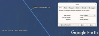
Revision as of 12:56, 8 October 2022 by Fippe (talk | contribs) (Credit: Google Earth / Data SIO, NOAA, U.S. Navy, NGA, GEBCO Category:Meetup on 2022-10-08 Category:Meetup in 42 28)

Size of this preview: 800 × 293 pixels. Other resolutions: 320 × 117 pixels | 962 × 352 pixels.
Original file (962 × 352 pixels, file size: 135 KB, MIME type: image/png)
Summary
Credit: Google Earth / Data SIO, NOAA, U.S. Navy, NGA, GEBCO
File history
Click on a date/time to view the file as it appeared at that time.
| Date/Time | Thumbnail | Dimensions | User | Comment | |
|---|---|---|---|---|---|
| current | 12:56, 8 October 2022 | 962 × 352 (135 KB) | Fippe (talk | contribs) | Credit: Google Earth / Data SIO, NOAA, U.S. Navy, NGA, GEBCO Category:Meetup on 2022-10-08 Category:Meetup in 42 28 |
- You cannot overwrite this file.
File usage
There are no pages that link to this file.