File:Screenshot 20240814 203831 Maps.jpg
From Geohashing
Revision as of 23:48, 15 August 2024 by TriosLosDios850 (talk | contribs) (Sugarberry circle geohash point 2024-08-14 (30, -87))

Size of this preview: 481 × 599 pixels. Other resolutions: 192 × 240 pixels | 1,080 × 1,346 pixels.
Original file (1,080 × 1,346 pixels, file size: 834 KB, MIME type: image/jpeg)
Summary
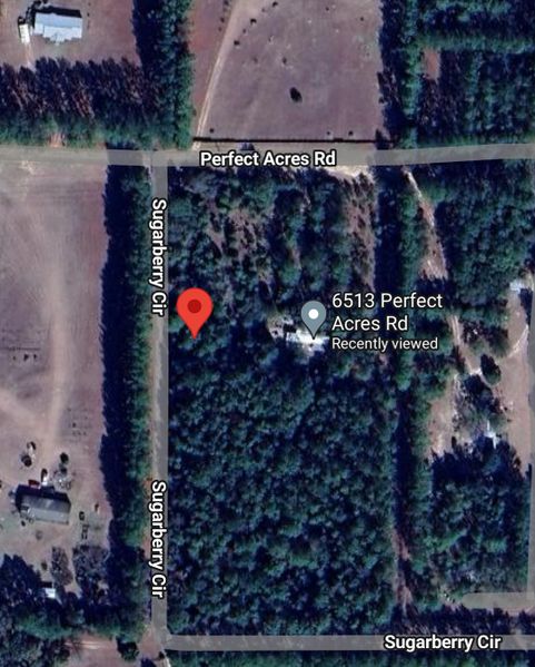
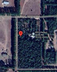
Sugarberry circle geohash point 2024-08-14 (30, -87)
File history
Click on a date/time to view the file as it appeared at that time.
| Date/Time | Thumbnail | Dimensions | User | Comment | |
|---|---|---|---|---|---|
| current | 23:48, 15 August 2024 | | 1,080 × 1,346 (834 KB) | TriosLosDios850 (talk | contribs) | Sugarberry circle geohash point 2024-08-14 (30, -87) |
- You cannot overwrite this file.
File usage
The following page links to this file: