File:AT126 regional Fippe.png
From Geohashing
Revision as of 22:50, 16 August 2024 by Fippe (talk | contribs) (NUTS3 region AT126 "Wiener Umland/Nordteil" within its graticules 48,15 and 48,16; Fippe's expeditions overlaid Source: [https://ec.europa.eu/eurostat/web/gisco/geodata/statistical-units/territorial-units-statistics GISCO] / [https://www.opens...)
No higher resolution available.
AT126_regional_Fippe.png (749 × 585 pixels, file size: 842 KB, MIME type: image/png)
Summary
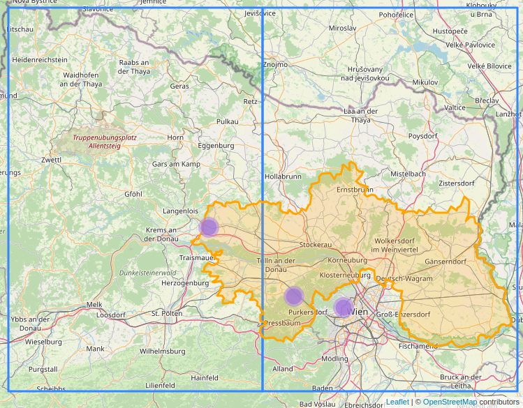
NUTS3 region AT126 "Wiener Umland/Nordteil" within its graticules 48,15 and 48,16; Fippe's expeditions overlaid
Source: GISCO / OpenStreetMap contributors
File history
Click on a date/time to view the file as it appeared at that time.
| Date/Time | Thumbnail | Dimensions | User | Comment | |
|---|---|---|---|---|---|
| current | 22:50, 16 August 2024 | | 749 × 585 (842 KB) | Fippe (talk | contribs) | NUTS3 region AT126 "Wiener Umland/Nordteil" within its graticules 48,15 and 48,16; Fippe's expeditions overlaid Source: [https://ec.europa.eu/eurostat/web/gisco/geodata/statistical-units/territorial-units-statistics GISCO] / [https://www.opens... |
- You cannot overwrite this file.
File usage
The following 3 pages link to this file: