File:2010-01-30 46 -122 apr 18.JPG
From Geohashing

Size of this preview: 337 × 599 pixels. Other resolutions: 135 × 240 pixels | 1,728 × 3,072 pixels.
Original file (1,728 × 3,072 pixels, file size: 1.74 MB, MIME type: image/jpeg)
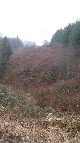
Original thought for point of entry, and stupidity distance start point, if we had. If you look closely, the tower we would hike a much easier path to at the top of that hill.
File history
Click on a date/time to view the file as it appeared at that time.
| Date/Time | Thumbnail | Dimensions | User | Comment | |
|---|---|---|---|---|---|
| current | 15:44, 30 January 2020 | | 1,728 × 3,072 (1.74 MB) | Maintenance script (talk | contribs) |
- You cannot overwrite this file.
File usage
The following page links to this file: