Difference between revisions of "2008-05-24 -43 172"
From Geohashing
imported>Polysylabic Pseudonym |
imported>Thomcat (Success/failure category added) |
||
| Line 27: | Line 27: | ||
Image:phire-2008-05-24_12.jpg | Image:phire-2008-05-24_12.jpg | ||
</gallery> | </gallery> | ||
| − | |||
[[Category:Expeditions]] | [[Category:Expeditions]] | ||
[[Category:Expeditions with photos]] | [[Category:Expeditions with photos]] | ||
| + | [[Category:Coordinates not reached]] | ||
| + | [[Category:Failed - Mother Nature]] | ||
Revision as of 04:31, 5 August 2008
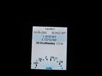
| Sat 24 May 2008 in -43,172: -43.1266480, 172.5475331 geohashing.info google osm bing/os kml crox |
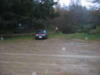
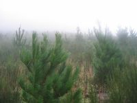
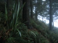
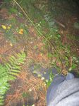
The Christchurch geohash for Saturday was located near the top of Mt Gray (900m)
People
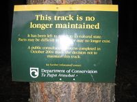
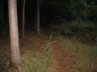
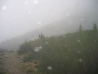
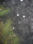
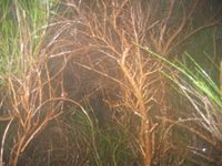
Phire attempted to reach it, but ended up having to be rescued by the police, full story to follow, but now you can get a series of photos with brief descriptions.
Zorg created a new Achievement in honor of Phire's Attempt, see MNB_Geohash.
- Pictures, click for more details.