Difference between revisions of "2008-05-24 33 -84"
From Geohashing
imported>Musiqua m |
imported>Gissehel (Adding meetup template) |
||
| Line 1: | Line 1: | ||
| + | {{meetup graticule | ||
| + | | map=<map lat="33" lon="-84" date="2008-05-24" /> | ||
| + | | lat=33 | ||
| + | | lon=-84 | ||
| + | | date=2008-05-24 | ||
| + | }} | ||
| + | |||
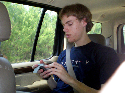
[[Image:Programming.JPG|Where are we going again?]] | [[Image:Programming.JPG|Where are we going again?]] | ||
Revision as of 09:51, 25 May 2008
| Sat 24 May 2008 in 33,-84: 33.1266480, -84.5475331 geohashing.info google osm bing/os kml crox |
Andy programmed the GPS.
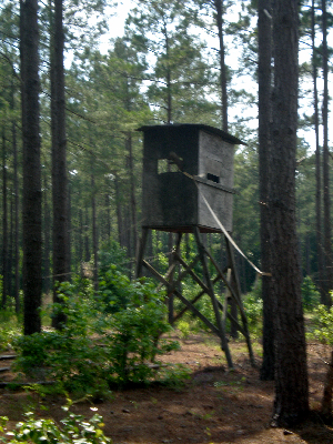
The real proof that we were in the bible belt was the prayer booth.
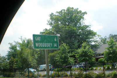
There were signs along the way...
Such as the one for the road to the access road.
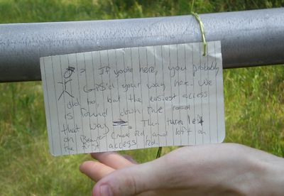
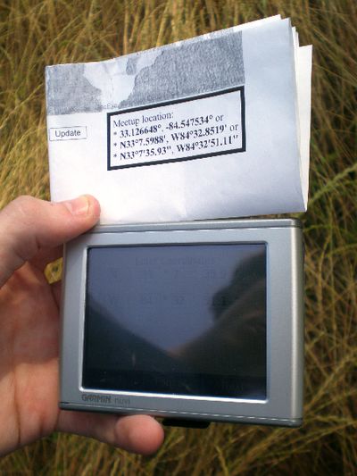
There was a GPS mishap, so we left a handy note in case anyone else made the same detour we did.
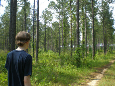
Google maps reigns supreme: what looked like logging trails were indeed logging trails!
We fortunately did not encounter any shotguns. Though we did encounter a place for shooting things.
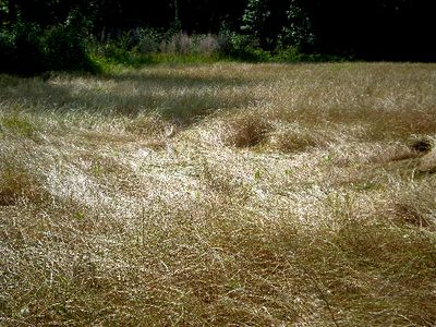
We're getting awfully close...is that a crop circle?
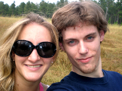
Success!
Success.
