Difference between revisions of "2008-06-07 49 -123"
From Geohashing
imported>Robyn (yay) |
imported>Thomcat (Added categories) |
||
| Line 8: | Line 8: | ||
[[Image:Watershed.JPG]] | [[Image:Watershed.JPG]] | ||
| + | |||
| + | [[Category:Expeditions]] | ||
| + | [[Category:Expeditions with photos]] | ||
Revision as of 14:40, 2 August 2008
This was my first attempt at a Saturday hash. I had planned a long and challenging trip by transit, bicycle and foot to reach a remote, but accessible mountain geohash. Google showed a 20 km mountain road that led to within a kilometre of the hash. I was hoping it would be a good enough road to average 10 km an hour or so, and then I would walk/bushwhack the rest of the way.
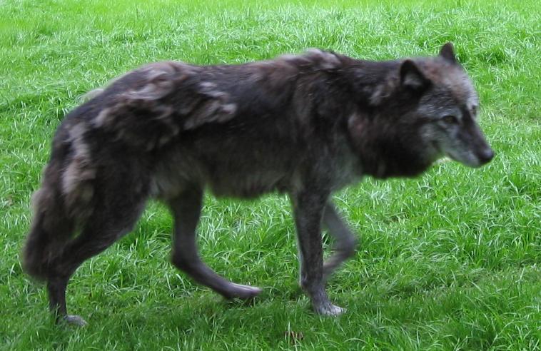
I got off the bus as a ski resort parking lot and started looking for the trail. First I found a trail that led to where there were wolves, but I was going in the wrong direction, so I turned around.
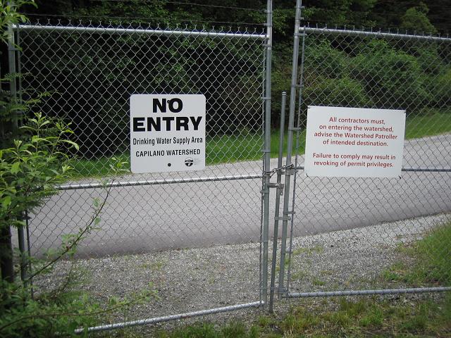
And then I found the most beautiful road imaginable, paved and everything, but behind this sign.

