Difference between revisions of "2008-06-21 41 -81"
From Geohashing
imported>Tonynpedia (→Pictures) |
imported>Tonynpedia |
||
| Line 12: | Line 12: | ||
[[User:Tonypedia|Tonypedia]] and [[User:Ryan K|Ryan K]], both first-timers. | [[User:Tonypedia|Tonypedia]] and [[User:Ryan K|Ryan K]], both first-timers. | ||
| + | |||
| + | |||
| + | == Awards == | ||
| + | {{mnb geohash | ||
| + | | latitude = 41 | ||
| + | | longitude = -81 | ||
| + | | date = 2008-06-22 | ||
| + | }} | ||
| + | A MNB awarf is necessary since the selected location was infact closed to the public for nature reclamation. | ||
== Activities == | == Activities == | ||
Revision as of 00:26, 23 June 2008
| Sat 21 Jun 2008 in 41,-81: 41.9793177, -81.6139621 geohashing.info google osm bing/os kml crox |
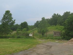
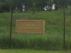
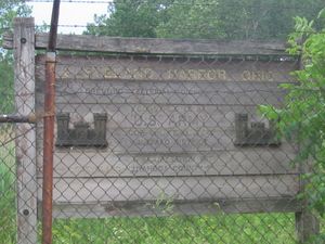
The original location was well up into Lake Erie, so Tonypedia proposed a section of parkland to the south. The alternate location turned out to be in the middle of Dike 14, which is closed to the public. South of Dike 14 is Gordon Park, where we met up.
Contents
Attendees
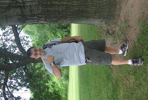
Tonypedia and Ryan K, both first-timers.
Awards
Template:Mnb geohash A MNB awarf is necessary since the selected location was infact closed to the public for nature reclamation.
Activities
- Threw frisbee.
- Discussed webcomics, Linux, Notacon (which neither of us made it to last year), etc.
- Lamented regarding the small size of Cleveland's hacker/geek/nerd scene.
- Reached consensus that we would do this again.
Pictures
A few more here.


