Difference between revisions of "2011-05-11 48 9"
From Geohashing
imported>FippeBot m (Location) |
m |
||
| Line 35: | Line 35: | ||
</gallery> | </gallery> | ||
| − | + | [[Category:Expeditions]] | |
[[Category:Expeditions with photos]] | [[Category:Expeditions with photos]] | ||
[[Category:Coordinates not reached]] | [[Category:Coordinates not reached]] | ||
[[Category:Not reached - No public access]] | [[Category:Not reached - No public access]] | ||
{{location|DE|BW|TÜ}} | {{location|DE|BW|TÜ}} | ||
Latest revision as of 09:16, 22 September 2021
| Wed 11 May 2011 in 48,9: 48.4494219, 9.0376979 geohashing.info google osm bing/os kml crox |
Contents
Location
On a field just above Dußlingen, on the slope to the Rammert hills, about 10 km from Tübingen (by bike or walking), about 2 km from Dußlingen railway station
Participants
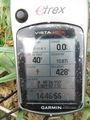
- Ekorren was there in the afternoon, and stopped 40m before the hash out of respect for crop.
Expedition
Gallery
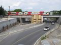
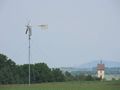
Burning a lot of money to accelerate people who drive too fast anyway
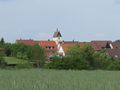
Random view on hash village
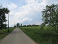
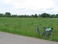
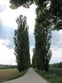
Road to hash
Almost there
90 degree time!
Stopping here to avoid harming any crop.
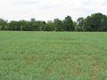
The hash field
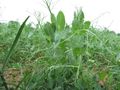
Hash plants
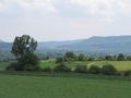
View from near hash 1...
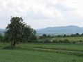
...2...
... and 3.
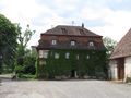
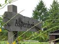
Eckhof
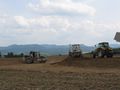
I liked the area better when this still were generic fields