Difference between revisions of "2014-04-25 51 -115"
From Geohashing
imported>Guzzby (→Photos) |
imported>Guzzby (→Photos) |
||
| Line 40: | Line 40: | ||
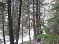
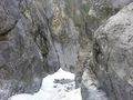
Image:2014-04-25_51_-115_guzzby1.jpg | Start of trail | Image:2014-04-25_51_-115_guzzby1.jpg | Start of trail | ||
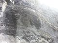
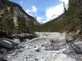
Image:2014-04-25_51_-115_guzzby2.jpg | View of creek bed | Image:2014-04-25_51_-115_guzzby2.jpg | View of creek bed | ||
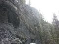
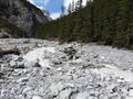
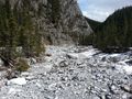
| − | Image:2014-04-25_51_-115_guzzby3.jpg | + | Image:2014-04-25_51_-115_guzzby3.jpg | Trail joins creek bed |
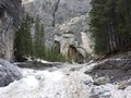
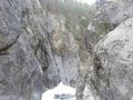
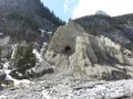
Image:2014-04-25_51_-115_guzzby4.jpg | Image:2014-04-25_51_-115_guzzby4.jpg | ||
Image:2014-04-25_51_-115_guzzby5.jpg | Image:2014-04-25_51_-115_guzzby5.jpg | ||
Revision as of 18:27, 26 April 2014
| Fri 25 Apr 2014 in 51,-115: 51.0694246, -115.2170305 geohashing.info google osm bing/os kml crox |
Location
1 km NE of Grotto Mountain Pond 2 km west of Exshaw, Alberta Canada
Participants
Plans
Expedition
Photos
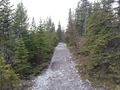
Start of trail
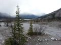
View of creek bed
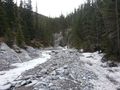
Trail joins creek bed


Achievements