Difference between revisions of "2014-05-28 47 11"
From Geohashing
imported>LeslieHapablap ([live picture]) |
imported>LeslieHapablap ([live picture]) |
||
| Line 87: | Line 87: | ||
Image:2014-05-28_47_11_LeslieHapablap_1401310901050.jpg | | Image:2014-05-28_47_11_LeslieHapablap_1401310901050.jpg | | ||
| + | |||
| + | Image:2014-05-28_47_11_LeslieHapablap_1401311031417.jpg | | ||
</gallery> | </gallery> | ||
Revision as of 21:05, 28 May 2014
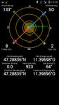
| Wed 28 May 2014 in 47,11: 47.2883587, 11.3969840 geohashing.info google osm bing/os kml crox |
Location
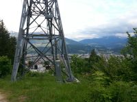
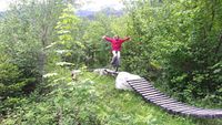
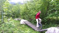
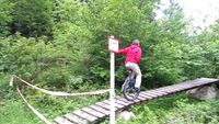
On a mountain bike downhill trail, directly beneath the Hungerburg cable car.
Participants
- EleanorAbernathy
- OwlOnAWheel
- 1-0
- LeslieHapablap
- Waltraud the hashkiwi
Plans
This one is about 160 m away from a previous hashpoint. We will meet at the Hungerburg valley station at 7 p.m. and then go a few hundred meters uphill to the hashpoint.
Expedition
- Close to Innsbruck again. -- LeslieHapablap (talk) 10:07, 27 May 2014 (EDT)
Tracklog
Photos
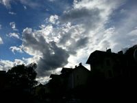
Weather: slightly overcast but dry.
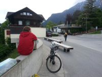
Almost at Hungerburg.
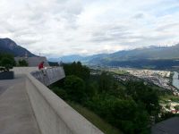
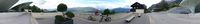
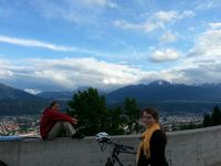
1-0 already waiting at the panorama platform.
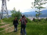
EleanorAbernathy arriving by foot.
OwlOnAWheel arriving by cable car.
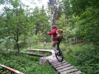
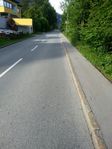
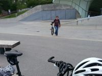
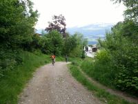
The mountain bike trail.

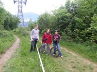
On our way home.

Geohash dinner.
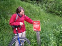
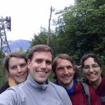
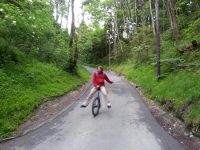
Obligatory proof.


Achievements