Difference between revisions of "2018-08-31 50 11"
From Geohashing
imported>Danatar (Created page with "{{meetup graticule | lat=50 | lon=12 | date=2018-08-30 | graticule_name=Erfurt | graticule_link=Erfurt, Germany }}__NOTOC__ == Location == Today's location is on forested hil...") |
imported>Fippe m |
||
| Line 2: | Line 2: | ||
| lat=50 | | lat=50 | ||
| lon=12 | | lon=12 | ||
| − | | date=2018-08- | + | | date=2018-08-31 |
| graticule_name=Erfurt | | graticule_name=Erfurt | ||
| graticule_link=Erfurt, Germany | | graticule_link=Erfurt, Germany | ||
Revision as of 09:35, 18 September 2018
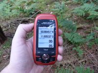
| Fri 31 Aug 2018 in Erfurt: 50.8845144, 12.8053193 geohashing.info google osm bing/os kml crox |
Location
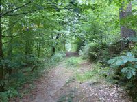
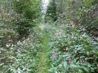
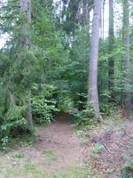
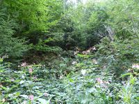
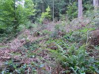
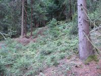
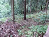
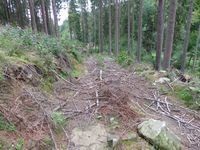
Today's location is on forested hillside near Stadtroda.
Country: Germany; state: Thüringen (Thuringia, EU:DE:TH); district: Saale-Holzland-Kreis; municipality: Stadtroda
Expedition
Danatar
..
|
tracklog
will follow
