Difference between revisions of "2021-03-28 47 -122"
From Geohashing
([live picture]Geohasher [https://openstreetmap.org/?lat=47.79620860&lon=-122.14147030&zoom=16&layers=B000FTF @47.7962,-122.1415]) |
([live picture]Water [https://openstreetmap.org/?lat=47.79035130&lon=-122.14145440&zoom=16&layers=B000FTF @47.7904,-122.1415]) |
||
| Line 42: | Line 42: | ||
Image:2021-03-28_47_-122_thomcat_1616979906162.jpg|Geohasher [https://openstreetmap.org/?lat=47.79620860&lon=-122.14147030&zoom=16&layers=B000FTF @47.7962,-122.1415] | Image:2021-03-28_47_-122_thomcat_1616979906162.jpg|Geohasher [https://openstreetmap.org/?lat=47.79620860&lon=-122.14147030&zoom=16&layers=B000FTF @47.7962,-122.1415] | ||
| + | |||
| + | Image:2021-03-28_47_-122_thomcat_1616980468543.jpg|Water [https://openstreetmap.org/?lat=47.79035130&lon=-122.14145440&zoom=16&layers=B000FTF @47.7904,-122.1415] | ||
</gallery> | </gallery> | ||
Revision as of 01:14, 29 March 2021
| Sun 28 Mar 2021 in 47,-122: 47.7962037, -122.1414554 geohashing.info google osm bing/os kml crox |
Location
Participants
Plans
Expedition
Tracklog
Photos
Parked @47.7918,-122.1420
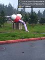
Brightwater @47.7935,-122.1419
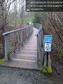
Bridges & wetlands @47.7949,-122.1416

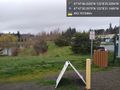
Geohasher @47.7962,-122.1415
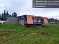
Water @47.7904,-122.1415


Achievements