File:2009-04-16 48 -122.border-playground.jpg
From Geohashing
Revision as of 16:09, 30 January 2020 by Maintenance script (talk | contribs) (Maintenance script uploaded File:2009-04-16 48 -122.border-playground.jpg)

Size of this preview: 449 × 599 pixels. Other resolutions: 180 × 240 pixels | 467 × 623 pixels.
Original file (467 × 623 pixels, file size: 135 KB, MIME type: image/jpeg)
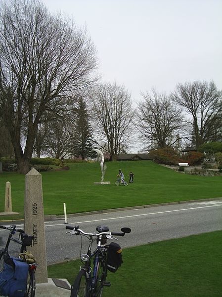
So... kids play on the border. Due to the detour to Canada, we took the pedestrian path to Peace Arch Park from the US side. Google maps tried to send me to Peace Arch Park via a pedestrian path from the Canadian side.
Well, it stops cars from crossing without talking to customs... (I love our border.)
File history
Click on a date/time to view the file as it appeared at that time.
| Date/Time | Thumbnail | Dimensions | User | Comment | |
|---|---|---|---|---|---|
| current | 16:09, 30 January 2020 | | 467 × 623 (135 KB) | Maintenance script (talk | contribs) |
- You cannot overwrite this file.
File usage
The following page links to this file: