File:2009-05-30 eagle creek.jpg
From Geohashing
Revision as of 16:22, 30 January 2020 by Maintenance script (talk | contribs) (Maintenance script uploaded File:2009-05-30 eagle creek.jpg)
No higher resolution available.
2009-05-30_eagle_creek.jpg (800 × 533 pixels, file size: 466 KB, MIME type: image/jpeg)
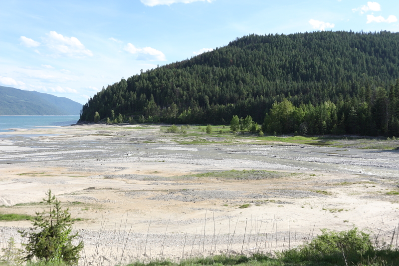
This is where Eagle Creek exits into Lower Arrow Lake. The landform is what I believe is considered a Gilbert delta.
File history
Click on a date/time to view the file as it appeared at that time.
| Date/Time | Thumbnail | Dimensions | User | Comment | |
|---|---|---|---|---|---|
| current | 16:22, 30 January 2020 | | 800 × 533 (466 KB) | Maintenance script (talk | contribs) |
- You cannot overwrite this file.
File usage
The following 2 pages link to this file: