File:20090726 34 -84NW17.JPG
From Geohashing
Revision as of 15:08, 30 January 2020 by Maintenance script (talk | contribs) (Maintenance script uploaded File:20090726 34 -84NW17.JPG)

Size of this preview: 800 × 600 pixels. Other resolutions: 320 × 240 pixels | 3,264 × 2,448 pixels.
Original file (3,264 × 2,448 pixels, file size: 4.59 MB, MIME type: image/jpeg)
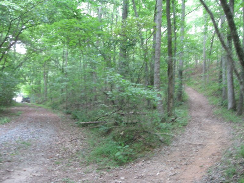
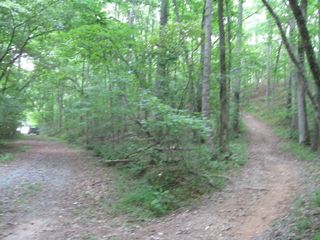
Here is where the trail and the gravel road meet. And to the left you can see the gravel road entrance into the fish hatchery. No fences were climbed in making this Geohash.
File history
Click on a date/time to view the file as it appeared at that time.
| Date/Time | Thumbnail | Dimensions | User | Comment | |
|---|---|---|---|---|---|
| current | 15:08, 30 January 2020 | | 3,264 × 2,448 (4.59 MB) | Maintenance script (talk | contribs) |
- You cannot overwrite this file.
File usage
The following page links to this file: