Difference between revisions of "File:2012-07-16 33 -117 13-11-55-932.jpg"
From Geohashing
imported>LucasBrown (The hashpoint is just beyond the bush, within an arm's length of the fence [http://www.openstreetmap.org/?lat=33.07654407&lon=-117.20846856&zoom=16&layers=B000FTF @33.0765,-117.2085] Category:Meetup on 2012-07-16 Category:Meetup in 33 -117) |
(Maintenance script uploaded File:2012-07-16 33 -117 13-11-55-932.jpg) |
(No difference)
| |
Latest revision as of 15:25, 30 January 2020
The hashpoint is just beyond the bush, within an arm's length of the fence @33.0765,-117.2085
File history
Click on a date/time to view the file as it appeared at that time.
| Date/Time | Thumbnail | Dimensions | User | Comment | |
|---|---|---|---|---|---|
| current | 15:25, 30 January 2020 | 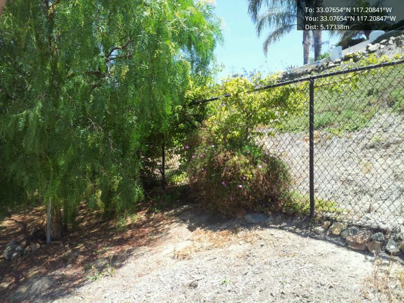 | 800 × 600 (129 KB) | Maintenance script (talk | contribs) |
- You cannot overwrite this file.
File usage
The following page links to this file: