File:20120829-55-13-02-Satellite.png
From Geohashing
Revision as of 18:17, 29 August 2012 by imported>Llavids (Category: Meetup on 2012-08-29Category: Meetup in 55 13Satellite map)
Size of this preview: 337 × 599 pixels. Other resolutions: 135 × 240 pixels | 720 × 1,280 pixels.
Original file (720 × 1,280 pixels, file size: 846 KB, MIME type: image/png)
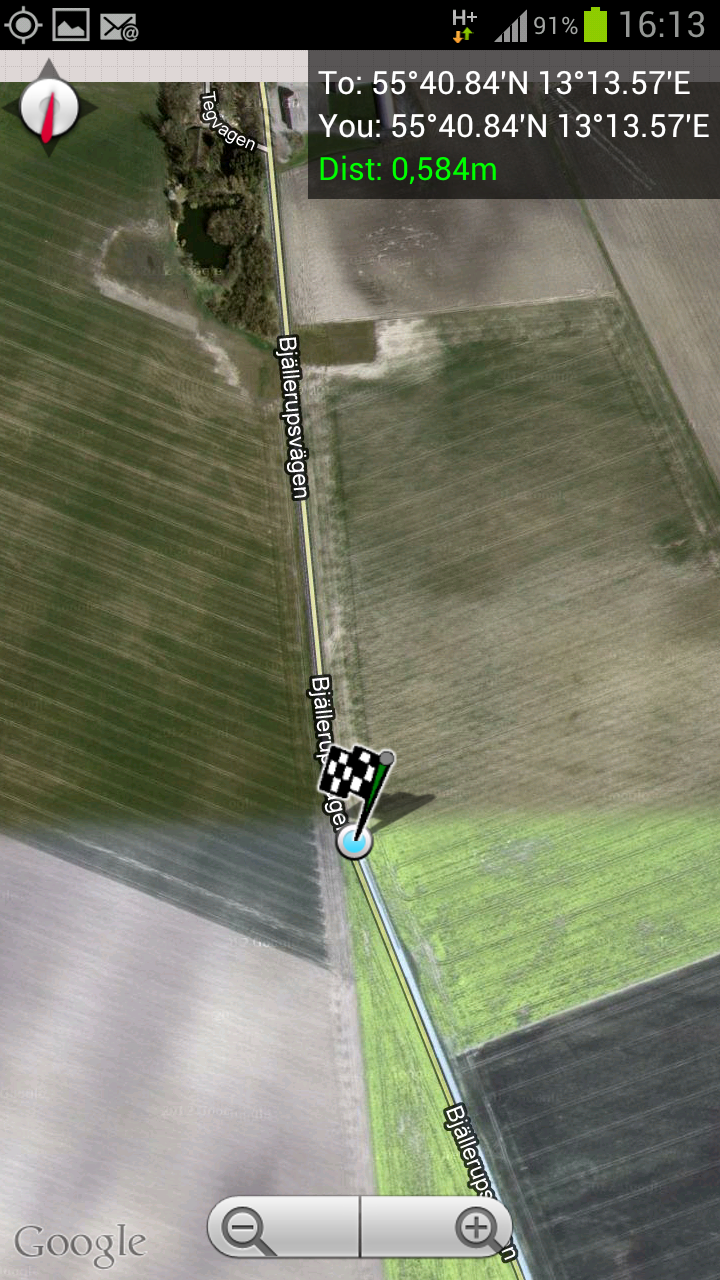
Satellite map
File history
Click on a date/time to view the file as it appeared at that time.
| Date/Time | Thumbnail | Dimensions | User | Comment | |
|---|---|---|---|---|---|
| current | 14:53, 30 January 2020 | | 720 × 1,280 (846 KB) | Maintenance script (talk | contribs) |
- You cannot overwrite this file.
File usage
The following page links to this file: