File:2013-01-15 38 -121 13-39-03-557.jpg
From Geohashing
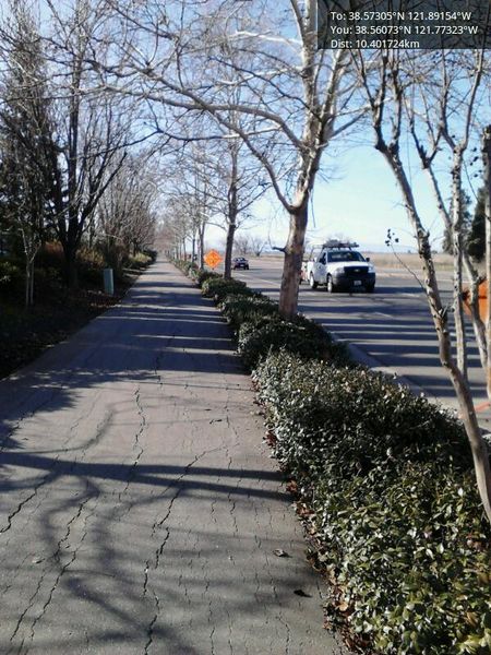
Revision as of 21:38, 15 January 2013 by imported>Chandru (The open road. On one side is fields that are open until the next city. On the other is suburban west davis. [http://www.openstreetmap.org/?lat=38.56073072&lon=-121.77322775&zoom=16&layers=B000FTF @38.5607,-121.7732] Category:Meetup on 2013-01-15 [[C)

Size of this preview: 450 × 600 pixels. Other resolutions: 180 × 240 pixels | 600 × 800 pixels.
Original file (600 × 800 pixels, file size: 120 KB, MIME type: image/jpeg)
The open road. On one side is fields that are open until the next city. On the other is suburban west davis. @38.5607,-121.7732
File history
Click on a date/time to view the file as it appeared at that time.
| Date/Time | Thumbnail | Dimensions | User | Comment | |
|---|---|---|---|---|---|
| current | 16:39, 30 January 2020 | | 600 × 800 (120 KB) | Maintenance script (talk | contribs) |
- You cannot overwrite this file.
File usage
The following page links to this file: