File:Australian Graticules.png
From Geohashing
Revision as of 14:57, 30 January 2020 by Maintenance script (talk | contribs) (Maintenance script uploaded File:Australian Graticules.png)
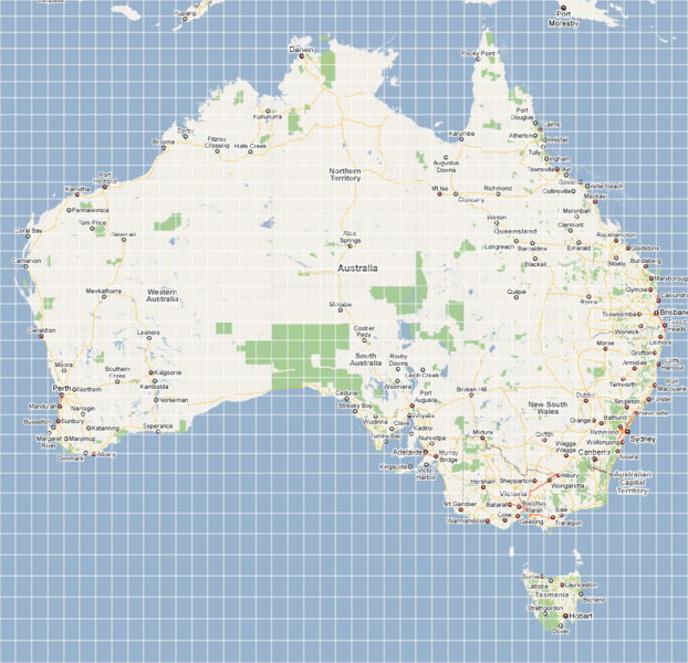
Size of this preview: 622 × 600 pixels. Other resolutions: 249 × 240 pixels | 978 × 943 pixels.
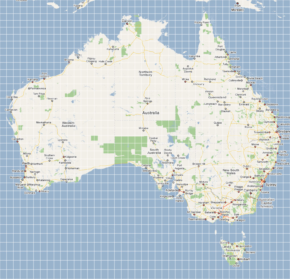
Original file (978 × 943 pixels, file size: 358 KB, MIME type: image/png)
A map of Australia, with all the graticule boundaries marked in.
File history
Click on a date/time to view the file as it appeared at that time.
| Date/Time | Thumbnail | Dimensions | User | Comment | |
|---|---|---|---|---|---|
| current | 14:57, 30 January 2020 | | 978 × 943 (358 KB) | Maintenance script (talk | contribs) |
- You cannot overwrite this file.
File usage
There are no pages that link to this file.