File:Danbury GeohashSatView72608.jpg
From Geohashing
Revision as of 14:19, 30 January 2020 by Maintenance script (talk | contribs) (Maintenance script uploaded File:Danbury GeohashSatView72608.jpg)
No higher resolution available.
Danbury_GeohashSatView72608.jpg (709 × 489 pixels, file size: 131 KB, MIME type: image/jpeg)
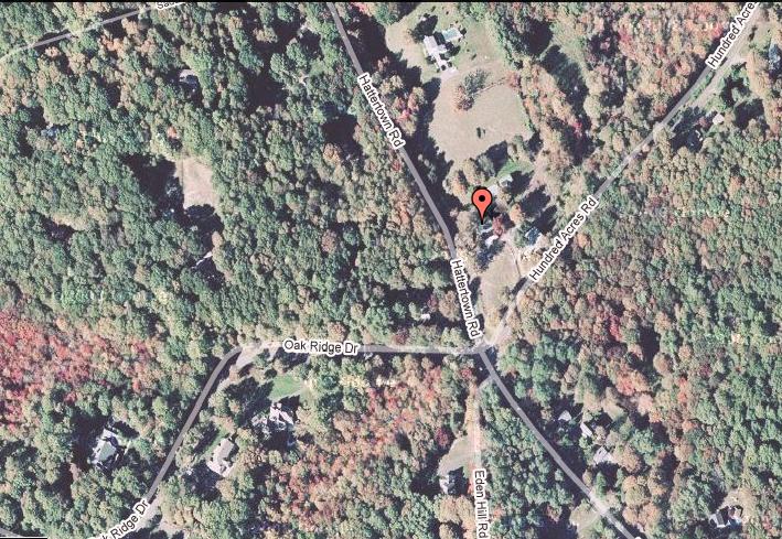
Satellite view of the hash location in the Danbury graticule on July 26, 2008.
File history
Click on a date/time to view the file as it appeared at that time.
| Date/Time | Thumbnail | Dimensions | User | Comment | |
|---|---|---|---|---|---|
| current | 14:19, 30 January 2020 | | 709 × 489 (131 KB) | Maintenance script (talk | contribs) |
- You cannot overwrite this file.
File usage
The following page links to this file: