Difference between revisions of "File:IronAngel First geohash.jpg"
From Geohashing
imported>IronAngel (Category: Meetup on 2014-11-22 Category: Meetup in 43 -86 Composite image of IronAngel at the hashpoint, a photo of the hashpoint overlaid on the google maps location at 43.710233°, -86.35705°) |
(Maintenance script uploaded File:IronAngel First geohash.jpg) |
(No difference)
| |
Latest revision as of 13:42, 30 January 2020
Composite image of IronAngel at the hashpoint, a photo of the hashpoint overlaid on the google maps location at 43.710233°, -86.35705°
File history
Click on a date/time to view the file as it appeared at that time.
| Date/Time | Thumbnail | Dimensions | User | Comment | |
|---|---|---|---|---|---|
| current | 13:42, 30 January 2020 | 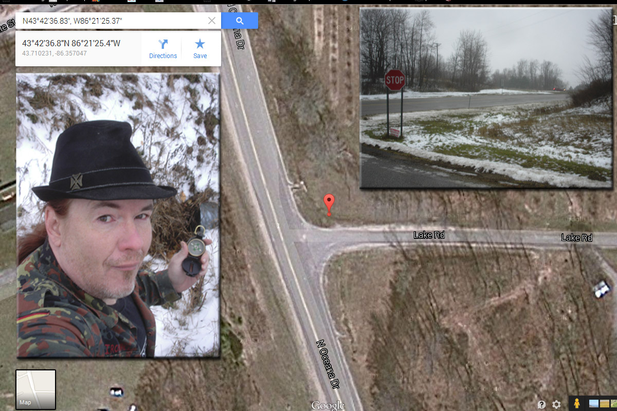 | 1,200 × 800 (272 KB) | Maintenance script (talk | contribs) |
- You cannot overwrite this file.
File usage
The following page links to this file: