Difference between revisions of "Vale, Oregon"
From Geohashing
imported>Michael5000 m |
imported>Michael5000 m (→2011-07-16 44 -117) |
||
| Line 18: | Line 18: | ||
== Expedition History == | == Expedition History == | ||
| − | ===[[2011-07- | + | ===[[2011-07-17 43 -117]]=== |
[[User:Michael5000|Michael5000]] and [[User:Mrs.5000|Mrs.5000]] hiked up to a hashpoint a north of US-26 northeast of the small settlement of Juntura. | [[User:Michael5000|Michael5000]] and [[User:Mrs.5000|Mrs.5000]] hiked up to a hashpoint a north of US-26 northeast of the small settlement of Juntura. | ||
Revision as of 04:57, 18 July 2011
| Prairie City | Baker City | Payette, Idaho |
| Buchanan | Vale | Boise, Idaho |
| Fields | Jordan Valley | Grand View, Idaho |
|
Today's location: not yet announced | ||
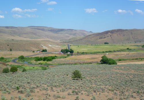
Except for the agricultural areas around Vale, at the northwest corner of the graticule, and Jordan Valley, just off the southeast, this area is among the must rugged and remote in Oregon. Owyhee Lake, a reservoir more than 50 miles long, is a dominant local feature. Some of the extreme eastern edge of the graticule extends slightly into Idaho.
Expedition History
2011-07-17 43 -117
Michael5000 and Mrs.5000 hiked up to a hashpoint a north of US-26 northeast of the small settlement of Juntura.
