2008-08-10 34 -76
| Sun 10 Aug 2008 in Havelock: 34.7371241, -76.7374328 geohashing.info google osm bing/os kml crox |
Contents
[hide]About
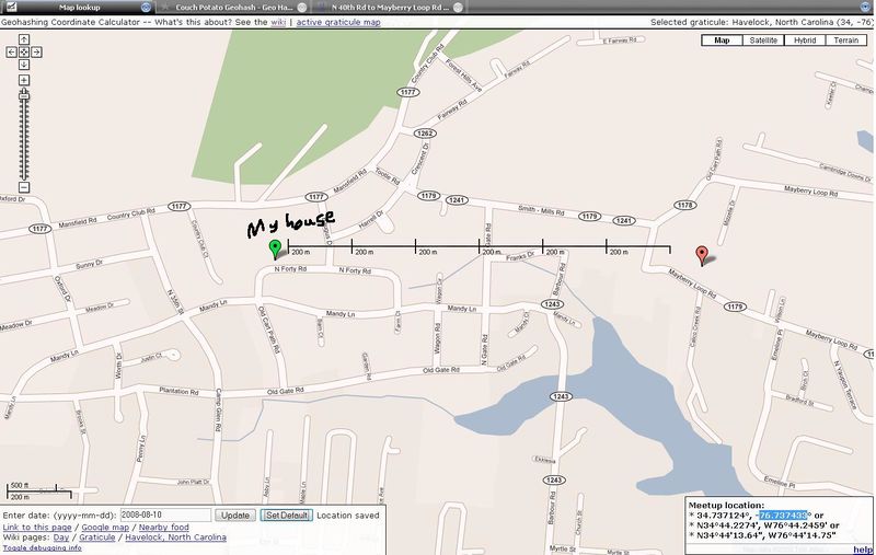
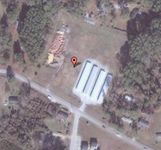
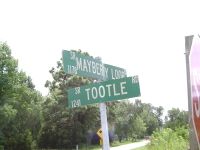
Next to a storage facility on Mayberry Loop Road in Morehead City, North Carolina, USA.
Expedition
Benjammn
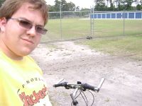
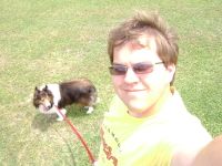
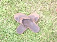
Benjammn and his trusty anti-velociraptor dog Cocoa braved the heat of the midday to trek to a Geohash spot only about 1.2km from his house. Going on bike, Ben managed to reach the spot at about 1:40PM EST after slowly biking a mile of road to get there. He was originally afraid that he couldn't get into the fenced storage facility, but he then found an open gate and proceeded to go to the spot. After a couple of pictures and marking the spot with his sandals, Ben biked back with his Cocoa for some much-needed water. Luckily, no velociraptors proceeded to attack us.
This is Ben's first Geohash, as many have fallen miles offshore due to the nature of the Havelock graticule. After constant checking for about 3 months, his first was lucky.
Achievements
Ben Ketel earned the Land geohash achievement
|
Ben Ketel earned the Bicycle geohash achievement
|
Ben Ketel earned the Graticule Unlocked Achievement
|
Gallery
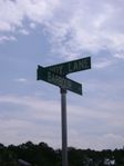
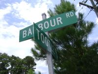
Sorry for all the pictures, but they are my only proof as I currently have no GPS device. Also, the map above is incorrect, as Barbour Road goes all the way to Tootle Road, which is an unmarked road that goes to Mayberry Loop Road.
