2009-03-20 40 -88
| Fri 20 Mar 2009 in Champaign/Urbana, Illinois: 40.9413044, -88.3536148 geohashing.info google osm bing/os kml crox |
The graticule's coordinates fell in a grassy field near Emington, Illinois.
Expedition by Nathan
Nathan tried to get some friends to come with him to the day's hash location, but some said "No" while others couldn't be reached. It was a nice day for a drive. Good thing, too, because this point was close to the northern edge of the graticule and Nathan was coming from the southeast corner--about a 70 mile drive.
The trip itself was rather ordinary. He took his green Ford Escort west on I-74, then jumped off at Mahomet and drove north on Highway 47. This took him to Saunemin, IL. After a few juts and jogs and country roads, Nathan arrived at the closest point possible to the day's location reachable by car.
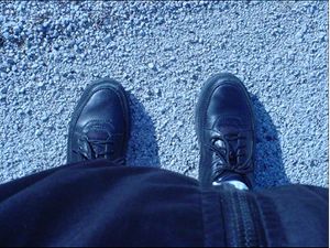
Here is a shot of the shoes Nathan was wearing when he arrived:
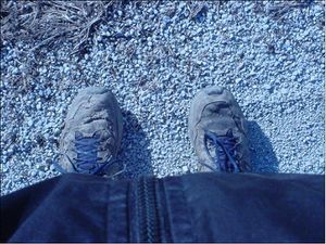
Here is a shot of the shoes Nathan smartly changed into:
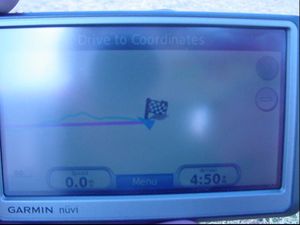
According to the GPS, Nathan still had to walk 0.2 miles to get to the day's location. So, he trekked east across a muddy cornfield (more about that later) and reached a little ridge. On the other side was much easier terrain, a grassy field. Another couple hundred feet, and Nathan was there.
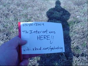
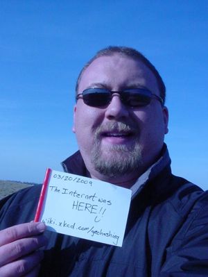
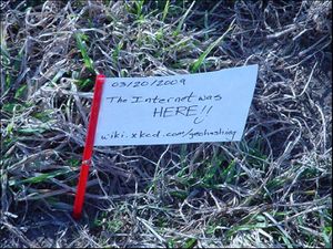
Now, even though it was 4:40 local time, it did not appear that anyone else had been there. No marker was present at the very least. Nathan did not have any nifty marker flags like his friend Brett, so he gerryrigged one of his own using a straw, an index card, and some scotch tape. He wrote a comment on the index card in Sharpie.
Nathan planted the flag at the location and looked around.
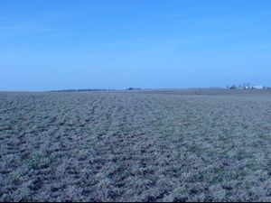
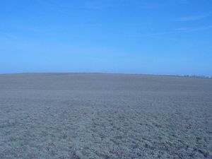
Nathan was surrounded by fields on all sides. To the north he saw:
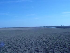
To the east he saw:
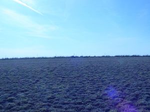
To the south he saw (and was grateful the point did not end up there):
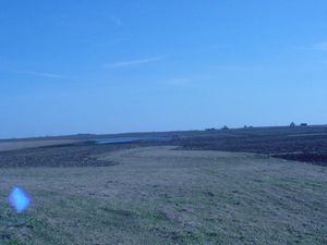
To the west he saw (not much because of the ridge he had just traversed):
As Nathan headed west back to his car, he came across a grass path that separated the corn field. As he looked to the south a little bit, he noticed that the grass path ended in a cul-de-sac in one direction. He wasn't sure of the purpose of this odd grass circle, but he took a picture of it for your viewing pleasure:
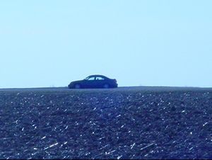
Nathan continued to tredge back through the muddy corn field and saw his car approaching in the distance. He was happy because it was a little chilly outside, even in his windbreaker jacket:
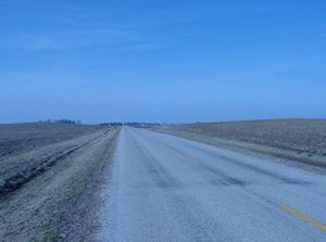
Once Nathan reached his car, he looked north along the small county road toward Emington:
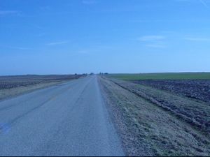
But Nathan knew that he must now go back and share his adventure with the rest of the world. So he shot a cursory glance down the road to the south--back towards Saunemin:
And, satisfied, broke into a smile at the thought of conquering another geohash.
Nathan earned the Land geohash achievement
|
