2009-04-15 -33 149
| Wed 15 Apr 2009 in Bathurst: -33.3262469, 149.4843262 geohashing.info google osm bing/os kml crox |
Contents
Location
The hash falls on the edge of the treeline near the summit of Mount Rankin.
Attendees
Report
I'm getting sick of failing so often :P
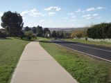
It was pretty windy when I woke up, but it was clear. At least I wasn't rained in again... Riding through town was hard enough. Bathurst is pretty hilly, and the wind was blowing almost directly east. Guess which direction I had to ride? I followed a cycle path most of the way to Eglinton, attempted to find a cache along the way, failed at that too, and battled on. The suburb of Eglinton was easy enough to ride through since it was school holidays and no one was out.
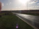
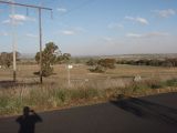
Stop to take a photo, then along the longest level road on my route. Of course I'm riding directly west, the road is narrow, and the speed limit is 100km/h. Gets a bit hairy when a P plater drives past missing you by a metre. The road soon started uphill again, and the traffic dropped off. Up, up, up we go. After a few kilometres of insane winds, steep hills, and the odd car, I just called it quits. 4km from the hash and mother nature proves she owns me. Decent tailwind on the way back though, and I did find that cache in the end.
Total time elapsed: 2:40
Total distance traveled: 35km


