2009-07-22 50 -1
| Wed 22 Jul 2009 in 50,-1: 50.7914814, -1.7330763 geohashing.info google osm bing/os kml crox |
Contents
Location
About half a mile north of Bransgore, right on the edge of the New Forest
Participants
Expedition
We caught the train (Matt from Hamworthy, Ali from Poole). Disembarking at 1318, at Hinton Admiral, a small railway station, apparently in the middle of nowhere, we began the 4 mile cycle to the geohash. After crossing the mighty A35, we made steady progress along Ringwood Road, a nice country lane, before riding through Bransgore. Initially, we attempted to reach the geohash from the west along the track which is marked on Google Maps. The farm buildings at the end of the track seemed occupied, so to avoid any awkward encounters, we turned back and attempted tried our luck from the north. After riding another mile or so, we found an open gate leading into a field. We locked our bikes there and proceeded on foot.
We made our way along the edge of the field towards a forested area, where we encountered a small river. We found a crossing point, then climbed over a small wire fence into the wood. It took a few minutes to cross this, cross a small track (which can be seen in the satellite view on Google Maps) then reach the edge of the field in which the co-ordinates were to be found.
To our dismay, the field was occupied by a man, a dog, a caravan, and a car. Nervously we proceeded over the fence, thinking up excuses as to why we were there. The co-ordinates were roughly in the middle of the field, so we made our way there and were greeted by the dog running over to us. The man called it back and strangely, paid us no attention whatsoever. We then proceeded with our posing, juggling, and photo taking.
Photos
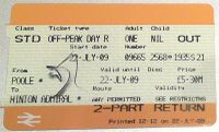
My ticket
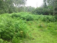
Some woodland close to the geohash
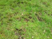
Some boggy ground we had to negotiate
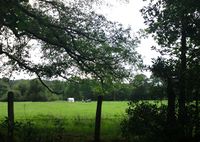
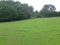
Our first glimpse of the field
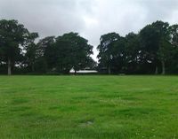
View from the hash point - a fairly nondescript field
The farm buildings
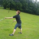
Matt trying to juggle knives in a strong wind

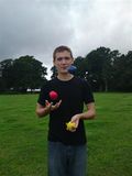
Matt juggling juggling balls more successfully
Ali juggling juggling balls
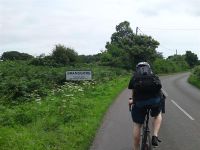
Entering Bransgore on the way back to the station
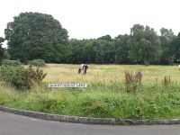
A horse/pony/donkey-like creature, free to roam
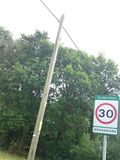
A sign


