2009-08-27 50 11
| Thu 27 Aug 2009 in 50,11: 50.3297327, 11.6587506 geohashing.info google osm bing/os kml crox |
Participants
Expedition
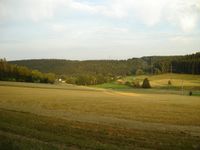
Yes, I've become addicted to the Frankenwald (forest of Franken). How else could one explain, that I drove a detour of 127 km on my way from Jena to Lepzig for a bike trip of 61 km with 1080 m total ascent? Well ... and for an other successful geohash in (50 11).
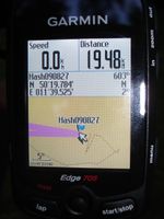
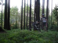
I started from work in Jena, drove on the motorways A4 and A9 till exit Burg, where I parked the car at the first parking lot I found around 18:40. From there I started my bike trip and quickly noticed that I was back in Frankenwald, once again: Up and down it goes, but never flat! The roads I had chosen before with the help of Google maps and my City Navigator map proved to be in a good paved condition, so that I could enjoy the whole ride. The haspoint was easy to reach this time. After riding through Christusgrün, I had to push the bike for some meters on a steep path and found it to pass the hashpoint by only 20 m! Additionally, the forest ground was not overgrown by barbed bushes and even covered with some grass, and the trees were spaced well. I quickly took some photos and continued the nice ride, getting into the dark for the last 20 km.
--Reinhard
- Photo Gallery
