2009-11-08 39 -105
| Sun 8 Nov 2009 in 39,-105: 39.6808936, -105.7485891 geohashing.info google osm bing/os kml crox |
Location
Approximately 0.2 miles southeast of the summit of Mt. Pendleton.
Participants
beanmj, Nate
Plans
beanmj plans to start from Guanella Pass Road around 8am.
Expedition
I spent several hours researching this mountain, and came up with absolutely nothing of substance. Despite this, I was able to convince a friend, Nate, to come along for this boondoggle. Plans were to take a mostly-southern route to avoid early season snow, though bushwhacking was expected (and there was plenty of it).
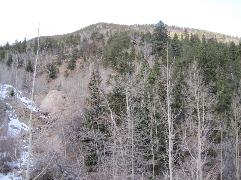
At 7:00am, we headed for I-70. An hour and a half later, we were part-way up Guanella Pass, and stopped a few miles short of the current road closure. For roughly half a mile (which took the better part of an hour) we were going up steep, loose terrain and bushwhacking. It was tough but fun. View from the car showing what we were in for:
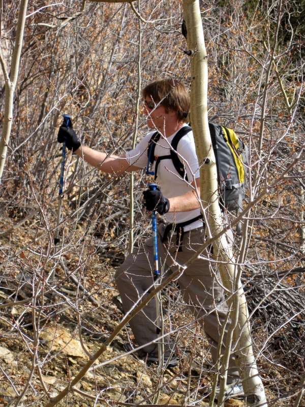
This is pretty characteristic of the first hour or so:
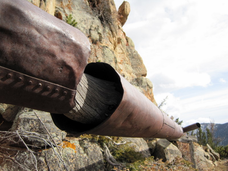
Lots of cool mining stuff. In fact, the trail we were on for a half mile or so was an old mining trail, not a hiking trail.
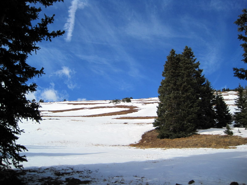
Finally, treeline.
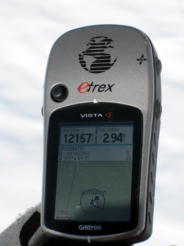
And after some meandering thanks to a screwed up compass (protip: don't clip your GPS on to your pack with a biner) we made it. Note that the altitude is erroneous. The actual elevation is more like 12,135'.
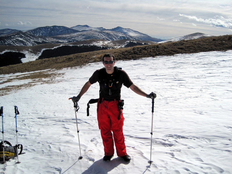
Hero shot necessary for an altitude-record shattering hash. And a heroic bushwhack calls for heroic pants.
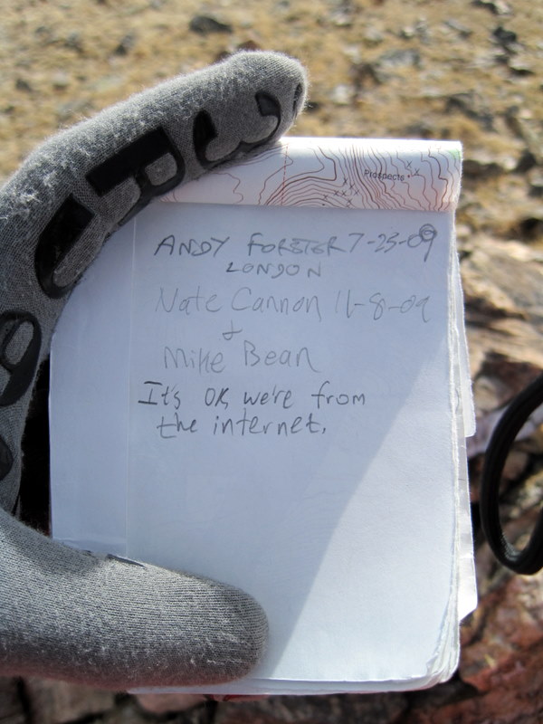
Since we were so close, we wandered over to Pendleton, a trip that took all of two minutes. The register was similar to one I found a few years ago on another nearby 12er - left by Gerry Roach in a mason jar, and with very few entries. This register was left on 1/2/2006 and had fewer than 10 visits since.
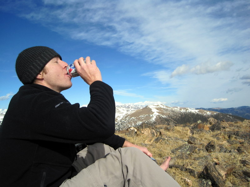
What does freedom taste like? Oh yeah, it's friggin' delicious.
A couple hours of trudging through snow and scree and other assorted misery and we were back to the car. Total time just under 6 hours, 3,000' of vertical gained, 7.1 miles covered round-trip. Any objections to One with Nature I would be glad to discuss.
Tracklog
Image:2009-11-08 39 -105 Tracklog.png
If anyone would like a .gdb of the trip, I'll be glad to supply it.
Photos
beanmj earned the High geohash achievement
|
beanmj earned the One with Nature Geohash Achievement
|
beanmj earned the Drag-along achievement
|
beanmj earned the Land geohash achievement
|
