Participants
Expedition
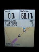
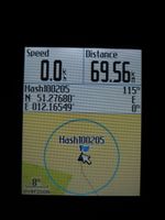
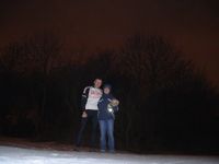
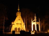
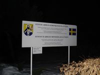
On Friday evenings Manu used to come to Reinhard from Leipzig to Jena. This time there was a geohash close to the motorway interchange Rippachtal (A9/A38), which she has to take on her way. Manu didn't want to walk alone through the night on that geohash field near Lützen, so Reinhard had the idea of meeting her halfway by cycling to the hashpoint from Jena after work. He did so and due to the long winter and the still low temperature it took him nearly three hours to ride that 68 km. When he was 22 km from Lützen, Reinhard gave Manu a call that she could start from Leipzig soon to meet him at a parking area they already had used before, when they visited the "climbing forest Lützen". Manu arrived there with her car about 5 min before Reinhard did by bike and she entertained him with hot cappuccino, bread rolls and fruit. After Reinhard's feet were unfrosted in the car, they headed out walking to the hashpoint, which was 1.1 km air distance. First they ran and walked along the federal road B87 for 1 km and then turned left into the field, which was surprisingly good to walk on, since it was frozen. After taking some photos with Hasi the hare, they walked straight to the car-park, crossing the field and not using the road and unsettling drivers. Thus, they got back to the car after 2.7 km walking, took a photo of the illuminated Gustav Adolf church (Gustav Adolf died on the fields near Lützen (maybe on that day's hashpoint!) in 1632 during the Thirty Years' War.) and drove on with Reinhard's bike in the car's back to Jena.
| That's where Reinhard ended his cycling trip from Jena and found Manu in her car waiting for him.
|
| Reinhard, Manu and Hasi at the hashpoint.
|
| Gustav Adolf memorial and church in Lützen, where Manu parked (1.1 km from the hash).
|
|
