Participants
Expedition
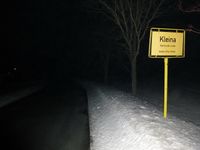
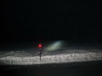
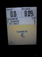
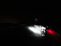
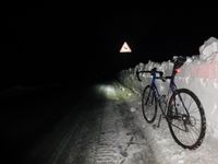
Reinhard wanted to go geohashing on that Thursday and was happy to see the hashpoint being near Kleina, not too far from Jena and easy to reach. Reinhard was cycling there several times before (on the road, which was 50 m from the hashpoint). Working till 6 pm, when it was already dark, and still having a harsh winter, cycling the whole way and back was no option. (This would have been at least 85 km.) But close to the hashpoint there were some minor roads, which Reinhard was interested in (meaning that he wanted to record new GPS tracks with elevation profile for the quaeldich.de trip planner), so he packed the bike into the car in the morning and after work drove to Neustadt an der Orla, which is some km north of Kleina. Initially, he wanted to drive the smaller roads, which would have been much shorter (35 km instead of 52 km one direction), but two detours finally forced him to use the motorways A4 and A9, which probably was much faster. He started his bike trip from Neustadt and had some trouble with the small roads, which were partially icy, but luckily those were exceptions. After cycling only 8 km, Reinhard got to Kleina and to the hashpoint, which he found on a snow-covered field. Then he continued his bike trip and finished it at the car after 27 km, almost falling due to sleekness in the very last bend.
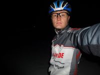
| Me at the hashpoint with the bike in the back.
|
| Same from an other perspective and using flash.
|
|
