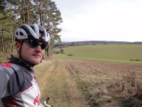
Participants
Expedition
I was going to ride my bike from Erfurt to Schleusingerneundorf (from my to Manu's parents) in the afternoon of this Good Friday. Shortest distance would have been 62 km. I made it 70 km by visiting the hashpoint near Witzleben and Stadtilm on my way. Nothing special about the ride, except that I was exposed to headwind most of the time.
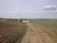
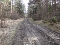
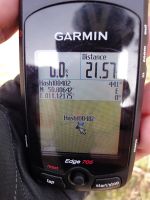
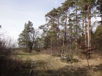
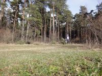
To get to the hashpoint, I left paved roads in Witzleben and initially rode my road bike on a dry field path. When it got into the wood, there were still some puddles and muddy sections, in which I walked or carried the bike. After 1.7 km of field path I reached the hashpoint right beside the track. After taking the usual photos I rode on about 2 km to Großhettstedt, where I eventually got back on paved roads. To be exactly, I was back on B87, where I also rode on my expeditions of March, 25 and March, 19 and continued on the same way to Manu as I did in the latter expedition.
--Reinhard
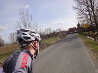
| Entering Witzleben (translated: "joke life").
|
| Looking back to Witzleben from the beginning of the field path.
|
| No road bike conditions at all.
|
| My bike at the exact point.
|
| From another perspective.
|
| Riding on to Großhettstedt.
|
|
