Location
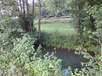
Close to a stream near Widdern in Baden-Württemberg.
Participants
Expedition
Reinhard used the weekend for taking part in the two last stages of the quaeldich.de-Deutschland-Rundfahrt 2010. It's a road bike trip for 170 people through Germany's nicest regions. On Saturday, 10th they were cycling from Tübingen over the Schwäbische Alb to Friedrichshafen and on Sunday they continued through the Allgäu and arrived in Füssen. Manu was accompanying Reinhard on this mission and drove the car from one location to the next, thereby visiting a friend in Friedrichshafen. When they were going to Tübingen on Friday evening from Jena, they passed this hashpoint by just some kilometers, so the plan was to leave the Autobahn A81 at exit Osterburken, drive close to the hashpoint, walk some meters and get back to the Autobahn at exit Möckmühl. It would be a detour of just 6 km.
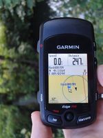
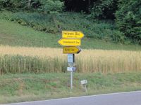
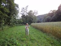
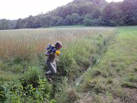
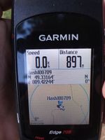
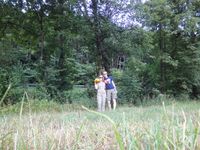
So that's what they did. After parking the car at the side of the road between Unterkessach and Widdern and being struck by the hot and humid weather outside the air-conditioned car, they walked 250 m to see, that the hashpoint indeed was on the other side of the stream, which they had already recognized in the satellite view. So they walked on few hundred meters, where a road crossed the stream and could walk back between the stream and a field. Right after jumping over a small side stream they were standing at the hashpoint. They took nearly the same way back and drove on to their hotel near Tübingen.
Though it was really hot the following weekend, the two bike rides (each about 170 km and 2500 meters ascent) were really good. You can read about them (German) here and here.
Photos
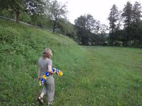
| Manu and NanoLE approaching the hash point.
|
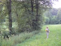
| Damn. It's on the other side of the stream.
|
| crossing further down the road.
|
| Approaching the hashpoint from the other side.
|
| Jumping over a small brook.
|
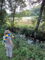
| View from the hash point to the road on the other side of the stream.
|
| NanoLE, Manu and Reinhard hashed in an other graticule.
|
| Pano from a smaller road with the hashpoint in the middle.
|
| NanoLE walking back to the car.
|
|
