2010-07-17 -33 149
| Sat 17 Jul 2010 in Bathurst: -33.5687441, 149.5352076 geohashing.info google osm bing/os kml crox |
Contents
Location
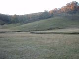
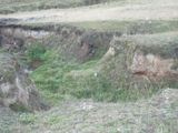
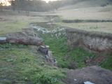
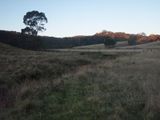
In Cow Flat (a clearing south of Georges Plains), between two small ravines.
Attendees
Report
I'd been visiting the geohashing page every weekend for a few months trying to find a day when there was a hash that was actually reachable. After they kept dancing around the outskirts one finally landed near the center of the graticule and was close enough to a road I'd be able to get to it. The area was incredibly hilly though so I quickly dismissed the idea of riding my bike.
So a quick stop at a local shop to grab a sandwich to eat and I set off. It was a pretty uneventful drive (once the car warmed up) out to Georges Plains, and the first bit of Cow Flat Rd was mellow, then it started climbing Rockley Mt. After weaving through a fold for a while the road leveled out and I realised I had arrived, and overshot the only safe stopping point. So, chuck a U-turn, drive into the sun until I find and nearly overshoot a driveway and chuck another U-turn, then pull up. I studied the map a bit (did I mention I chose not to bring my GPS? Partly because I wanted to handicap myself for driving, and mostly because the batteries were packed away somewhere.) to get my bearings then started wandering into the field.
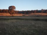
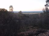
I'm fairly certain I got there, certainly within 10m anyway so I'd say it was successful. It was far too cold to eat at the hash though so I drove back toward Rockley and pulled off partway down the mountain to enjoy the view.
Total time elapsed: 1:20
Total distance traveled: 58km
