2010-08-12 60 22
| Thu 12 Aug 2010 in Turku, Finland: 60.0556783, 22.8741536 geohashing.info google osm bing/os kml crox |
Location
Forest in Ulkoluoto/Utö island in SW part of Salo, ex-Särkisalo/Finby municipality. Citizen's Map Site: N60.0556783, E22.8741536.
Participants
Plans
I'll try to go there, unless something more important turns out. Date is known, exact time not.
There is quite new bridge to the Ulkoluoto island, so ferry ride is no more needed nor available. There should be room for few cars on the edge of a paved road near the beginning of a forest road. The forest road is probably closed with a chain. I know this because the same forest road leads to a hill with nice view and some caves, and to a sandy beach. Obviously I've visited those places. However, now I should take a smaller path (remains of older forest road) which is visible on the map.
Expedition
Trip to hashpoint went pretty much as planned. However, I didn't try to follow the old forest road. Small animal trails led around wet places and terrain was easy to walk.
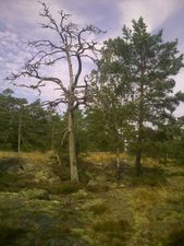
I reached the hashpoint around 14:15 o'clock. It was on a rocky hill. Various lichens covered the bedrock. Majority of trees were dwarf pines.
On the way back I came across a recently built small tower. It was just 60 m from the hashpoint. I'm not sure about its purpose. There wasn't a good view from the tower anyway. Maybe it is for hunting.
Photos
Somehow I managed to take a bunch of bad quality photos with my phone. Tried to pick here the least fuzzy ones.
Causeway to Isoluoto
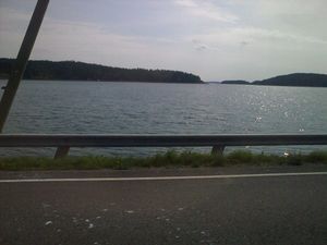
Amazing camera speed :)
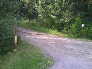
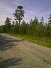
Beginning of forest road
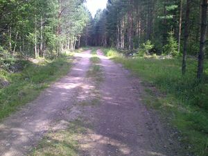
Forest road
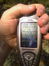
GPS at the hashpoint. Difficult to get a decent picture.
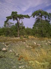
Hashpoint is there
Trees
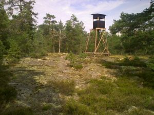
A tower
Near parking place
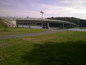
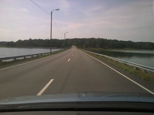
Ulkoluoto bridge.
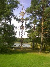
Midsummer pole and Canadian geese. Location is the same as in previous bridge picture. To the left there is a public sauna where I visit sometimes.


Achievements
Jusu achieved level 1 of the Minesweeper Geohash achievement
|