2011-06-27 51 11
From Geohashing
| Mon 27 Jun 2011 in 51,11: 51.1296255, 11.7963857 geohashing.info google osm bing/os kml crox |
Location
In a small forest, south of Naumburg, Saxony-Anhalt, Germany.
Participants
Expedition
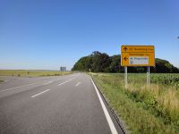
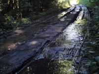
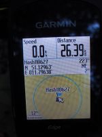
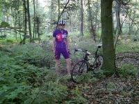
Today was kind of Bali weather in Germany, but the even better thing was, that sun was not going to set at 6 pm, but rather at 9:30 pm. Thus, Reinhard could start a bike hash expedition from work at 17:45 and be back, when it was still one or two hours to sunset. He took the fastest route to the hash, which meant using the B88 for 99 % of the trip. Struggling to the hash forest was the worse part of the expedition, because Reinhard had to fight muddy trails, stinging nettles, overthrown trees and tiny ticks on his bare legs. Well, it was just some hundred meters, so he made it and quickly got back to the road and home until 20:00. 52 km cycling and 500 m struggling.
Photos
|


