Location
On the edge of a field near Hohenroda, north of Leipzig.
Participants
Expedition
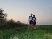
Reinhard drove to Leipzig after work to visit Manu and to go on a geohash bike ride together with her. (copypasting the last expeditions ...)
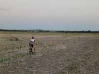
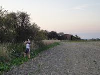
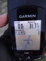
This time, the hashpoint was far into a field and Reinhard passed the best access to the hashpoint from roads in search for a better one (with at least rudimentary field paths). It turned out, there was no better one, so they got back to the edge between the two fields, of which one was already harvested and the other one had 2 m corn plants. Cycling through the dry, but loose ground of the harvested field was nearly impossible. After 100 m Reinhard decided they should leave their bikes and walk the remaining 400 m to the hashpoint, which was luckily not in the maize field. Coordinates reached! While running through the harvested field, Manu was hit badly by a thick straw ... or had it been a grain field raptor??
After 59 km they were back at Manu's home, and it was already dark.
Photos
| Roadbiking is a question of defining "road".
|
| We'd better give the bikes a rest.
|
| DRomeo is inspecting Manu's velociraptor wound.
|
|


