Location
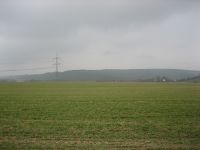
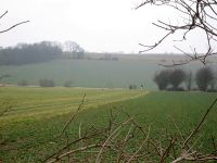
Half field, half forest near Schinditz.
Participants
Expedition
Oh no, I did it again. When I came home from my last hashpoint in January with one hour extra fun in the baggage (cleaning up muddy muddy shoes is really funny), I tried to find out the sense of going to a random point in a muddy field, and I had no idea. So maybe there is no reason to do such things and I can stop doing it. But then last Friday, Juja said: “There is a point near Jena and I have no time to go there. But someone has to collect the point.” And so someone did it.
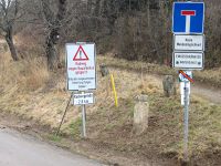
By good fortune the point was easy. Not far away from the point there is a garden party once a year, so I knew the way to the point very well. There was only one pitfall on the way - a sign that told the bike path is blocked between Golmsdorf and Dorndorf. So I ask a Golmsdorf native passing by, which way to go best and he answered me, the best way is to ignore the sign. And he was right.
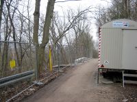
The point itself was easy to reach. It was located on a small path between a field and a group of trees. Strictly speaking not enough of them to call them forest, but due to default of a better word, let’s call them forest. The point was guarded by cavalry, two horseman and two dogs passing by every 5 minutes. One of them spoke “Hello” when he saw me for the first time, but his eyes said “What the hell are you doing here on my field, in my forest?”. So I quickly took some photos and left the place. I was not in the mood to explain anybody why adult people try to find virtual random points in muddy fields, maybe because I don’t know myself …
Photos
| Should be wide enough for my bike.
|
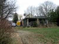
| The parking area at the point.
|
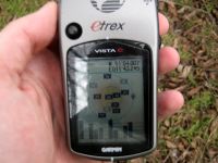
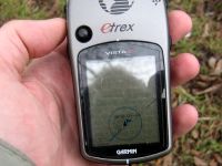
| Another view to the device.
|
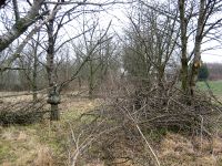
| View from the point to the village.
|
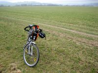
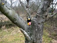
| Räbe, watching the lovely landscape.
|
| The lovely landscape, Räbe is watching.
|
| The cavalry near the point, taken from safe distance.
|
|
Achievements
- Land Geohash
- Bike Geohash
