Location
In a forest east of Thalbürgel
Participants
Expedition
This hash started like my last one. On Friday afternoon I got a mail from Juja, telling me, that the Saturday hash will be extremely easy to reach, but she has no time to go there. So who will do it? And indeed the location looked easy, the weather looked acceptable and I had time. So, why not?
On Saturday I started early in the morning, because Wetter-Online promised one rain drop and half a sun in the morning but two rain drops and nearly no sun in the afternoon. And since I’m a milquetoast, I preferred the one-rain-drop option.
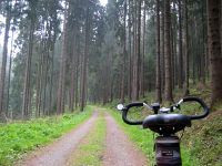
The way itself was quite normal. I cycled to Thalbürgel and from there the street to Walddeck (That’s where my very first hashpoint has been.), which I left soon and entered a dirt road through the forest, that led directly to the haspoint. Well not 100% directly. As always the last meters where missing. Lucky I am, only 7 meters today, but they were assembled of 5 meters to the left and 5 meters down the hill to the small runnel beside the dirt road. But compared to other hash points I’ve been to, even the last 7 meters were easy to go.
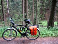
I took the usual pictures and left the point. Because of the nice landscape I followed the dirt road for a while in east direction before I turned around and cycled back home, where now after the report is written, my rhubarb cake is waiting for me.
Photos
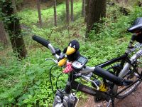
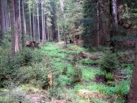
| The dirt road leading to the point
|
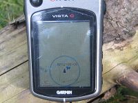
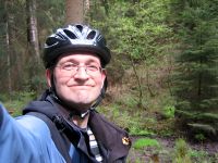
| Räbe thought, 7m is close enougth
|
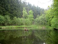
| A small pool, the runnel runs through
|
|
