Location
In a field near Zöthen.
Participants
Expedition
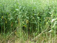
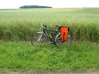
Good news first: The point was not located in a muddy field. Now the bad news: The field was filled with thousands of plants - beans I think, but I’m not a specialist in agricultural stuff. So it might have been any other plant too, expect strawberries. However, I decided that it was not worth to cleave a 100 meter long path through the 1 meter high none-strawberry-plants only to visit a virtual point. Maybe the owner would not like it. So today’s result is: Coordinates not reached.
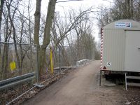
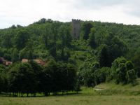
Well, what else is to tell about the trip? I was sent there by Juja again, since the point was near and she was not, although this is quite usual meanwhile and not worth mentioning (by the way, of course she is no sneaky weasel at all). On my way to the point I found out that the bike path between Golmsdorf and Dorndorf is open again. On my way back, I learned that when you go on way that you remember as "terrible" from a former trip, such a way doesn’t care about the second chance it gets. So the track down hill from Tautenburg to Golmsdorf wins the predicate "terrible" again. Ups, as you notice, I didn’t go back the direct way, very Juja-like. And It becomes even more strange. After arriving in Golmsdorf I added another arabesque via Thalbürgel, so that I was back home after 60 km.
Photos: Jens
| The bike path in March ...
|
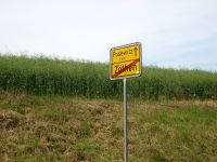
| 100 m away from the point, closer we won't get.
|
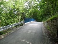
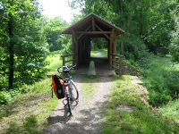
| Bridge on the old railroad embank-ment I followed from Graitschen.
|
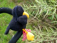
| Räbe, comparing none-strawberry-plants ...
|
|
